Transport Functions
Road
Multimodal
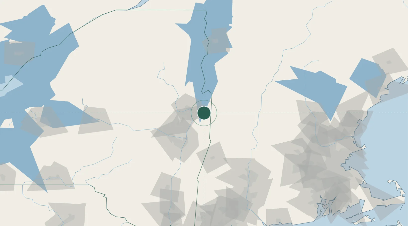
Hub Profile
Place type
Populated place
Region
New Hampshire
Population
489
Time zone
America/New_York
Elevation
189 m
Location
Nearby Logistics Neighbours
Cities
- 1Hartford13 km
- 2Battenville15 km
- 3Gansevoort22 km
- 4Dorset23 km
- 5Danby34 km
Ports
- 1Troy61 km
- 2Albany71 km
- 3Rensselaer71 km
- 4Catskill119 km
- 5Kingston152 km
Airports
Trade Zones
- 1FTZ No. 121 Albany68 km
- 2FTZ No. 268 Brattleboro76 km
- 3FTZ No. 201 Holyoke125 km
- 4FTZ No. 071 Windsor Locks158 km
- 5FTZ No. 081 Portsmouth207 km
DatabookThe Record of Consolidated Knowledge
United States beyond logistics?