UN/LOCODE hub · United States
USWHN
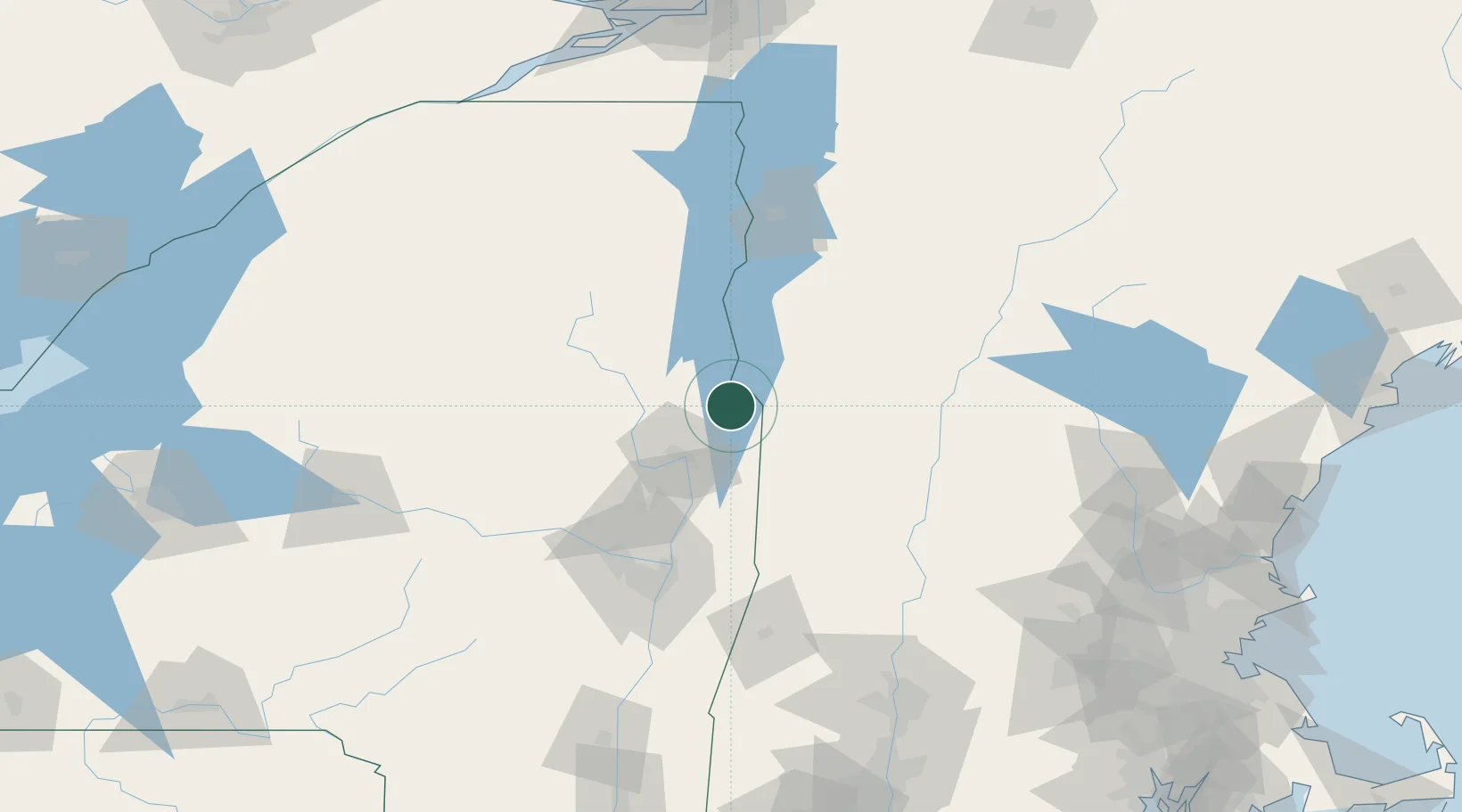
Whitehall
43.5500°, -73.4000°
2,582
Population
3
Transport functions
Transport Functions
Rail
Road
Multimodal
Hub Profile
Place type
Populated place
Region
New York
Population
2,582
Time zone
America/New_York
Elevation
48 m
Location
Nearby Logistics Neighbours
Cities
- 1Fair Haven13 km
- 2Castleton19 km
- 3Bolton Landing20 km
- 4Hartford22 km
- 5Lake George29 km
Ports
- 1Troy94 km
- 2Albany104 km
- 3Rensselaer104 km
- 4Catskill153 km
- 5Kingston186 km
Airports
Trade Zones
- 1FTZ No. 121 Albany99 km
- 2FTZ No. 268 Brattleboro100 km
- 3FTZ No. 201 Holyoke158 km
- 4FTZ No. 071 Windsor Locks191 km
- 5FTZ No. 109 Watertown206 km
DatabookThe Record of Consolidated Knowledge
United States beyond logistics?