Transport Functions
Port
Road
Hub Profile
Place type
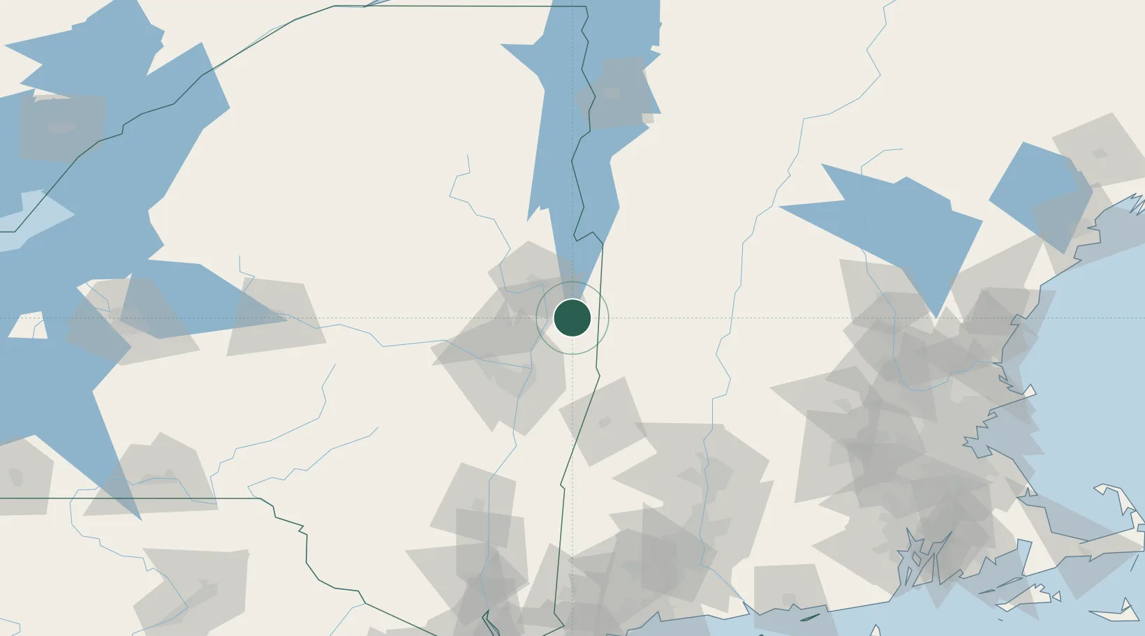
Populated place
Region
New York
Time zone
America/New_York
Elevation
128 m
Location
Nearby Logistics Neighbours
Cities
- 1Hebron15 km
- 2Gansevoort20 km
- 3North Hoosick22 km
- 4Schaghticoke25 km
- 5North Bennington26 km
Ports
- 1Troy46 km
- 2Albany56 km
- 3Rensselaer56 km
- 4Catskill104 km
- 5Kingston137 km
Airports
Trade Zones
- 1FTZ No. 121 Albany53 km
- 2FTZ No. 268 Brattleboro73 km
- 3FTZ No. 201 Holyoke114 km
- 4FTZ No. 071 Windsor Locks146 km
- 5FTZ No. 162 New Haven204 km
DatabookThe Record of Consolidated Knowledge
United States beyond logistics?