UN/LOCODE hub · United States
USFAA
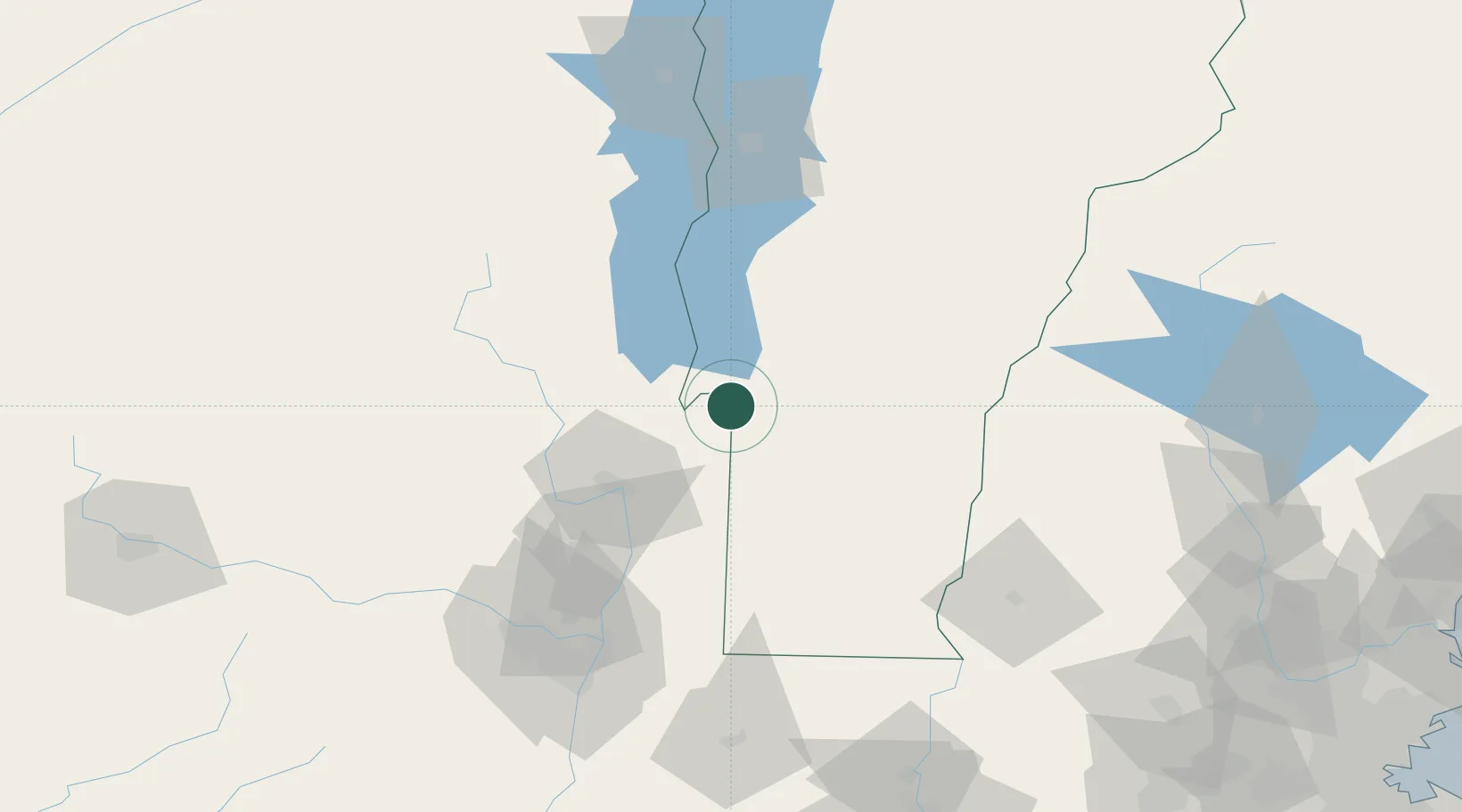
Fair Haven
43.5833°, -73.2500°
2,269
Population
2
Transport functions
Transport Functions
Rail
Road
Hub Profile
Place type
Populated place
Region
Vermont
Population
2,269
Time zone
America/New_York
Elevation
117 m
Location
Nearby Logistics Neighbours
Cities
- 1Castleton7 km
- 2Whitehall13 km
- 3West Rutland18 km
- 4Proctor19 km
- 5Rutland23 km
Ports
- 1Troy101 km
- 2Albany111 km
- 3Rensselaer111 km
- 4Catskill160 km
- 5Kingston193 km
Airports
Trade Zones
- 1FTZ No. 268 Brattleboro96 km
- 2FTZ No. 121 Albany107 km
- 3FTZ No. 201 Holyoke157 km
- 4FTZ No. 071 Windsor Locks191 km
- 5FTZ No. 081 Portsmouth203 km
DatabookThe Record of Consolidated Knowledge
United States beyond logistics?