Transport Functions
Road
Multimodal
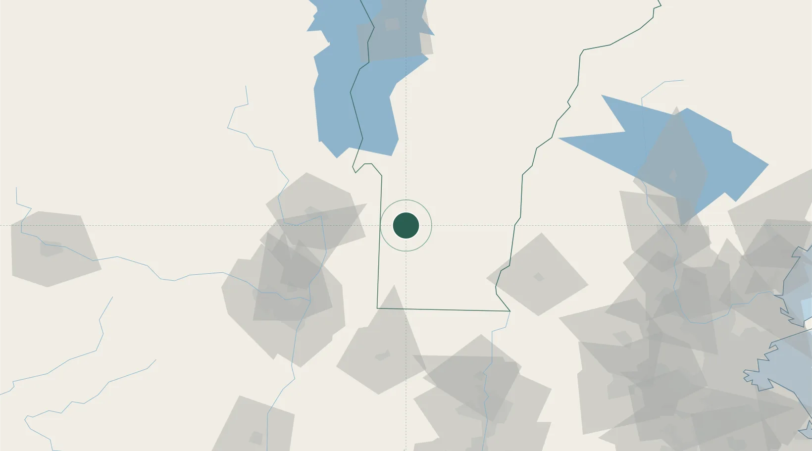
Hub Profile
Place type
Populated place
Region
Vermont
Population
249
Time zone
America/New_York
Elevation
292 m
Location
Nearby Logistics Neighbours
Cities
- 1Danby14 km
- 2Hebron23 km
- 3Hartford26 km
- 4Battenville32 km
- 5Ludlow36 km
Ports
- 1Troy75 km
- 2Albany85 km
- 3Rensselaer85 km
- 4Catskill130 km
- 5Kingston163 km
Airports
Trade Zones
- 1FTZ No. 268 Brattleboro59 km
- 2FTZ No. 121 Albany83 km
- 3FTZ No. 201 Holyoke118 km
- 4FTZ No. 071 Windsor Locks152 km
- 5FTZ No. 081 Portsmouth184 km
DatabookThe Record of Consolidated Knowledge
United States beyond logistics?