Transport Functions
Rail
Road
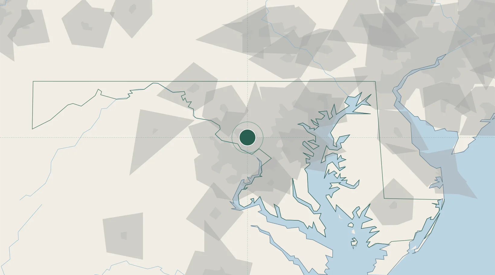
Hub Profile
Place type
Populated place
Region
Maryland
Population
2,381
Time zone
America/New_York
Elevation
143 m
Location
Nearby Logistics Neighbours
Cities
- 1Montgomery Village6 km
- 2Germantown9 km
- 3North Potomac9 km
- 4Great Falls18 km
- 5Chevy Chase18 km
Ports
- 1Washington D.C.30 km
- 2Alexandria37 km
- 3Baltimore53 km
- 4Annapolis61 km
- 5Fredericksburg94 km
Airports
Trade Zones
DatabookThe Record of Consolidated Knowledge
United States beyond logistics?