UN/LOCODE hub · United States
USYRA
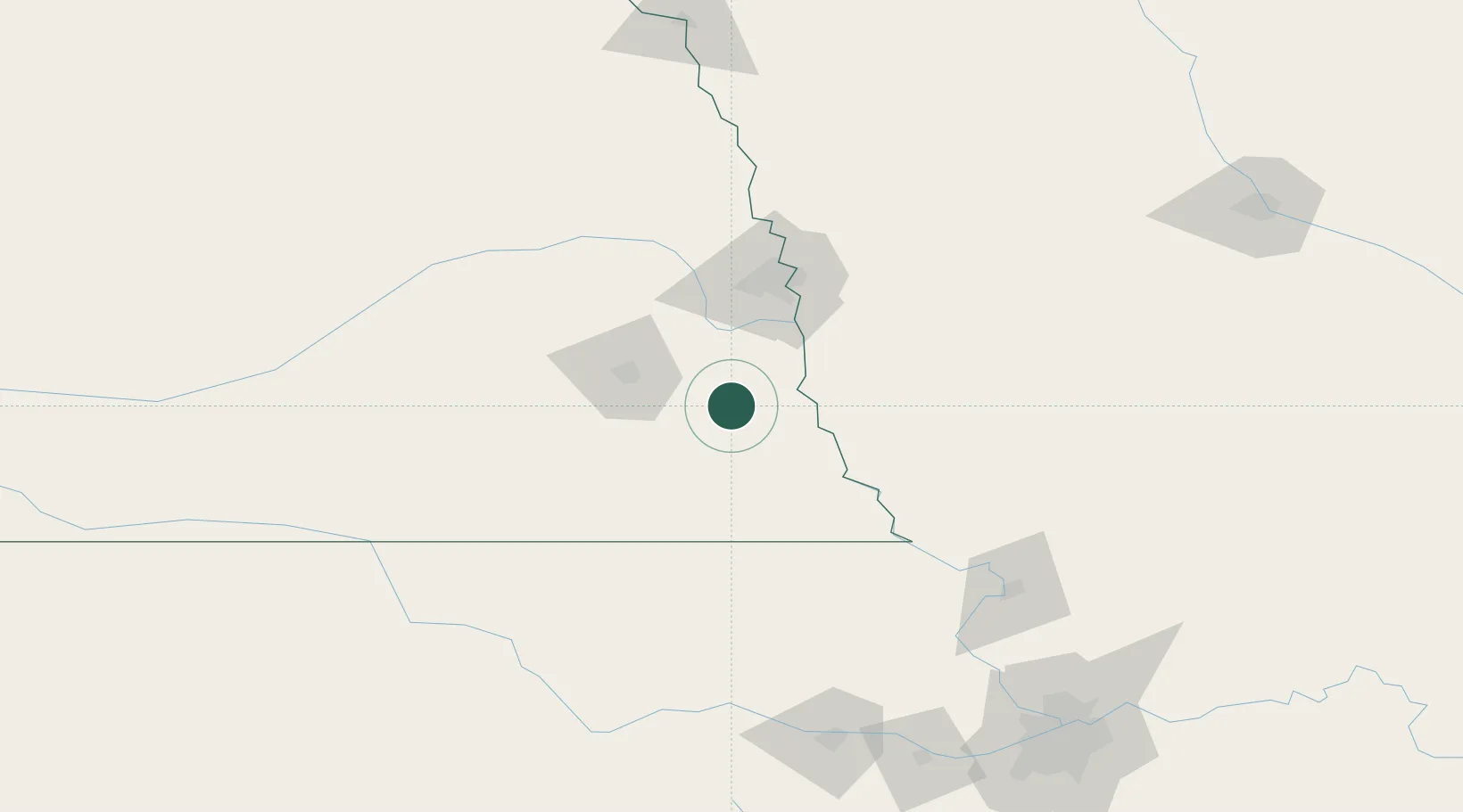
Syracuse
40.6500°, -96.1833°
1,993
Population
3
Transport functions
Transport Functions
Rail
Road
Multimodal
Hub Profile
Place type
Populated place
Region
Nebraska
Population
1,993
Time zone
America/Chicago
Elevation
320 m
Location
Nearby Logistics Neighbours
Cities
- 1Elmwood22 km
- 2Nebraska City28 km
- 3Murdock31 km
- 4Greenwood41 km
- 5Ashland45 km
Airports
- 1Lincoln Airport53 km
- 2Offutt Air Force Base57 km
- 3Eppley Airfield77 km
- 4Columbus Municipal Airport132 km
- 5Rosecrans Memorial Airport146 km
Trade Zones
- 1FTZ No. 133 Quad-Cities, Iowa Illinois57 km
- 2FTZ No. 059 Lincoln57 km
- 3FTZ No. 017 Kansas City207 km
- 4FTZ No. 015 Kansas City229 km
- 5FTZ No. 107 Polk County236 km
DatabookThe Record of Consolidated Knowledge
United States beyond logistics?