UN/LOCODE hub · United States
USNBK
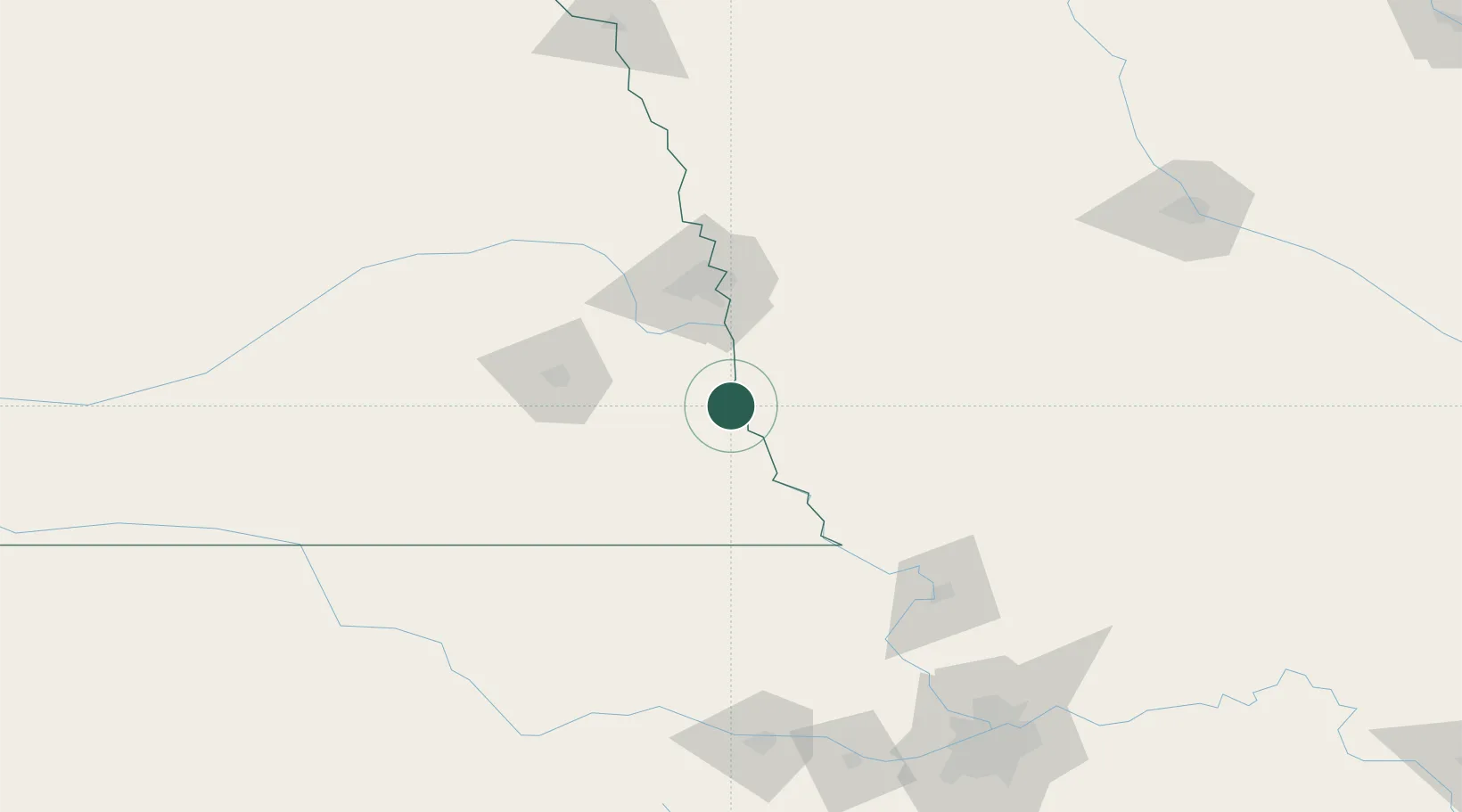
Nebraska City
40.6667°, -95.8500°
7,335
Population
2
Transport functions
Transport Functions
Rail
Road
Hub Profile
Place type
Provincial seat
Region
Nebraska
Population
7,335
Time zone
America/Chicago
Elevation
322 m
Location
Nearby Logistics Neighbours
Airports
- 1Offutt Air Force Base51 km
- 2Eppley Airfield71 km
- 3Lincoln Airport79 km
- 4Rosecrans Memorial Airport128 km
- 5Columbus Municipal Airport152 km
Trade Zones
- 1FTZ No. 133 Quad-Cities, Iowa Illinois70 km
- 2FTZ No. 059 Lincoln84 km
- 3FTZ No. 017 Kansas City195 km
- 4FTZ No. 107 Polk County211 km
- 5FTZ No. 015 Kansas City219 km
DatabookThe Record of Consolidated Knowledge
United States beyond logistics?