Transport Functions
Multimodal
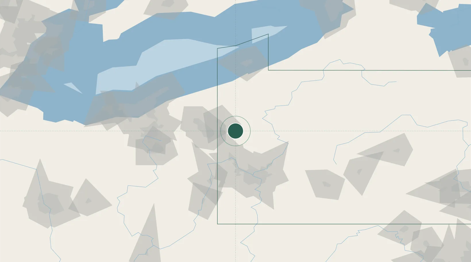
Hub Profile
Place type
Populated place
Region
Pennsylvania
Population
164
Time zone
America/New_York
Elevation
315 m
Location
Nearby Logistics Neighbours
Cities
- 1New Wilmington7 km
- 2Coaltown12 km
- 3Pulaski, Lawrence16 km
- 4Sharpsville25 km
- 5Ellport28 km
Airports
Trade Zones
- 1FTZ No. 033 Pittsburgh76 km
- 2FTZ No. 247 Erie114 km
- 3FTZ No. 181 Akron Canton126 km
- 4FTZ No. 295 Central Pennsylvania128 km
- 5FTZ No. 254 Jefferson County131 km
DatabookThe Record of Consolidated Knowledge
United States beyond logistics?