Transport Functions
Rail
Road
Multimodal
Hub Profile
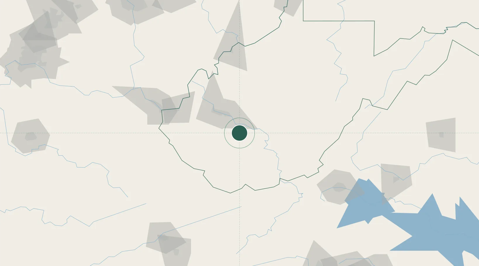
Place type
Populated place
Region
West Virginia
Time zone
America/New_York
Elevation
246 m
Location
Nearby Logistics Neighbours
Cities
- 1Shrewsbury13 km
- 2Montgomery15 km
- 3Rand22 km
- 4Pax26 km
- 5Salem31 km
Ports
- 1Fredericksburg350 km
- 2Richmond360 km
- 3Huron381 km
- 4Cleveland381 km
- 5Vermilion381 km
Airports
Trade Zones
- 1FTZ No. 229 Charleston37 km
- 2FTZ No. 238 Dublin128 km
- 3FTZ No. 204 Tri-Cities197 km
- 4FTZ No. 138 Franklin County232 km
- 5FTZ No. 230 Piedmont Triad Area240 km
DatabookThe Record of Consolidated Knowledge
United States beyond logistics?