Medium airport · United States
Tri-State Airport / Milton J. Ferguson FieldKHTS
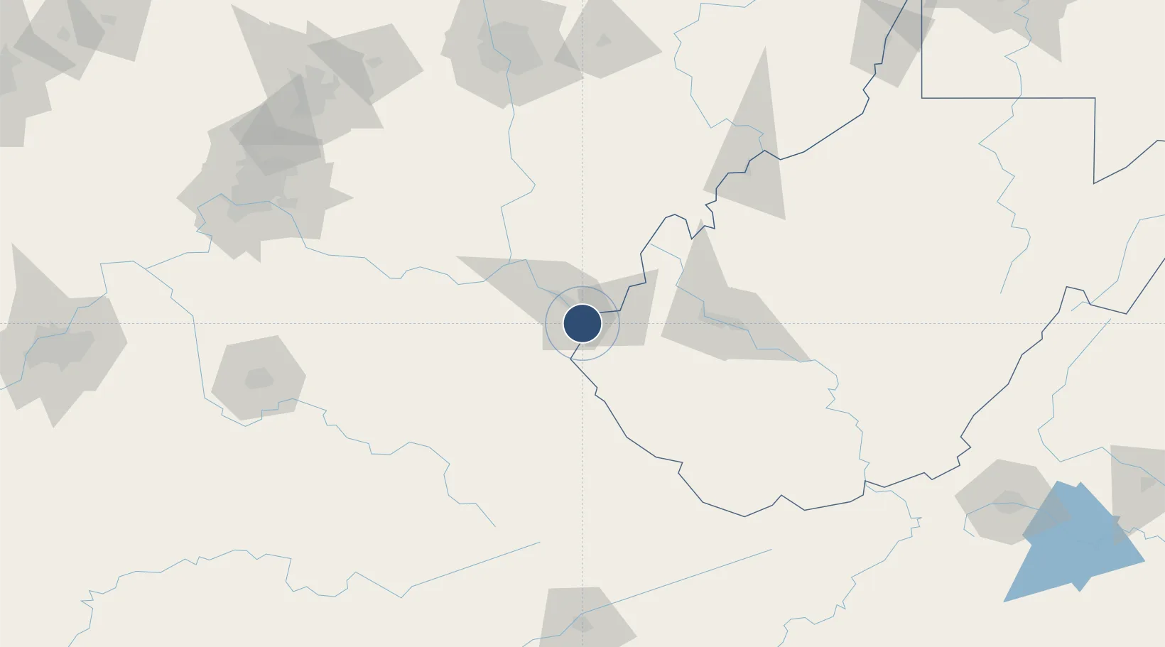
38.3667°, -82.5580°
7,017 ft
Longest runway
1
Runways
828 ft
Elevation
Runway & Layout

Radio Frequencies
ATIS
125.2 MHz
TWR
118.5 MHz
HUNTINGTON TWR
GND
121.9 MHz
CLD
118.05 MHz
CLNC DEL
A/D
119.75 MHz
HUNTINGTON APP/DEP
RDO
122.2 MHz
ELKINS RDO
UNIC
122.95 MHz
UNICOM
Navaids
HT NDB Huntt 226 kHz
Runways · 1
| Runway | Dimensions | Surface | True heading | Lit |
|---|---|---|---|---|
| 12/30 | 7,017 × 150ft | Asphalt | 112° | ✓ |
Airport Specifications
IATA code
HTS
ICAO code
KHTS
Airport class
Medium airport
Scheduled service
Yes
Runway surface
Asphalt
Served city
Huntington
Location
Nearby Logistics Neighbours
Airports
- 1Yeager Airport84 km
- 2Julian Carroll Airport109 km
- 3Raleigh County Memorial Airport141 km
- 4Mid Ohio Valley Regional Airport146 km
- 5Wilmington Airpark159 km
Ports
- 1Huron337 km
- 2Vermilion341 km
- 3Sandusky343 km
- 4Lorain346 km
- 5Port Clinton352 km
Trade Zones
- 1FTZ No. 229 Charleston74 km
- 2FTZ No. 054 Clinton County159 km
- 3FTZ No. 138 Franklin County165 km
- 4FTZ No. 046 CIncinnati188 km
- 5FTZ No. 204 Tri-Cities210 km
DatabookThe Record of Consolidated Knowledge
United States beyond logistics?