Transport Functions
Rail
Road
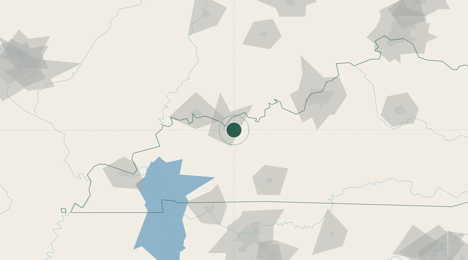
Hub Profile
Place type
Populated place
Region
Kentucky
Time zone
America/Chicago
Elevation
131 m
Location
Nearby Logistics Neighbours
Cities
- 1Maceo13 km
- 2Grandview22 km
- 3Lewisport23 km
- 4Fordsville25 km
- 5Hawesville28 km
Ports
- 1Port Of Memphis411 km
- 2Gary433 km
- 3Indiana Harbor439 km
- 4Michigan City445 km
- 5Calumet Harbor447 km
Airports
Trade Zones
- 1FTZ No. 177 Evansville63 km
- 2FTZ No. 029 Louisville120 km
- 3FTZ No. 294 Western Kentucky159 km
- 4FTZ No. 078 Nashville172 km
- 5FTZ No. 047 Boone County228 km
DatabookThe Record of Consolidated Knowledge
United States beyond logistics?