UN/LOCODE hub · United States
USFSV
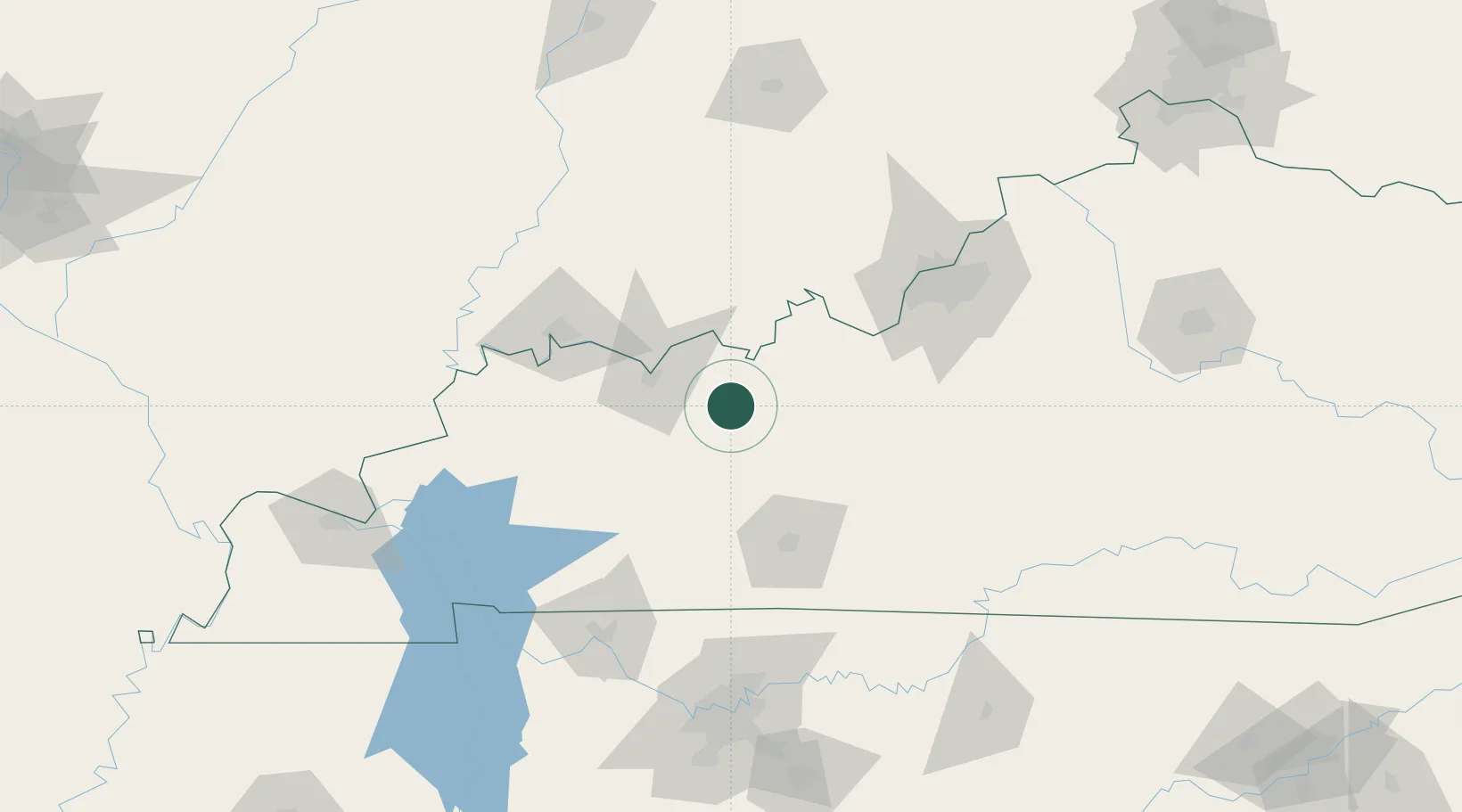
Fordsville
37.6333°, -86.7333°
530
Population
3
Transport functions
Transport Functions
Rail
Road
Multimodal
Hub Profile
Place type
Populated place
Region
Kentucky
Population
530
Time zone
America/Chicago
Elevation
152 m
Location
Nearby Logistics Neighbours
Cities
- 1Falls of Rough19 km
- 2Philpot25 km
- 3Hartford25 km
- 4Hawesville30 km
- 5Cannelton32 km
Ports
- 1Port Of Memphis420 km
- 2Gary446 km
- 3Indiana Harbor453 km
- 4Michigan City456 km
- 5Calumet Harbor461 km
Airports
Trade Zones
- 1FTZ No. 177 Evansville87 km
- 2FTZ No. 029 Louisville108 km
- 3FTZ No. 078 Nashville164 km
- 4FTZ No. 294 Western Kentucky175 km
- 5FTZ No. 047 Boone County219 km
DatabookThe Record of Consolidated Knowledge
United States beyond logistics?