Transport Functions
Rail
Road
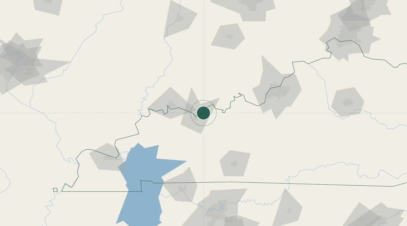
Hub Profile
Place type
Populated place
Region
Kentucky
Population
413
Time zone
America/Chicago
Elevation
119 m
Location
Nearby Logistics Neighbours
Cities
- 1Grandview9 km
- 2Lewisport12 km
- 3Philpot13 km
- 4Hawesville21 km
- 5Cannelton22 km
Ports
- 1Gary420 km
- 2Port Of Memphis421 km
- 3Indiana Harbor426 km
- 4Michigan City432 km
- 5Calumet Harbor434 km
Airports
Trade Zones
- 1FTZ No. 177 Evansville58 km
- 2FTZ No. 029 Louisville114 km
- 3FTZ No. 294 Western Kentucky166 km
- 4FTZ No. 078 Nashville185 km
- 5FTZ No. 072 Indianapolis216 km
DatabookThe Record of Consolidated Knowledge
United States beyond logistics?