UN/LOCODE hub · United States
USHZZ
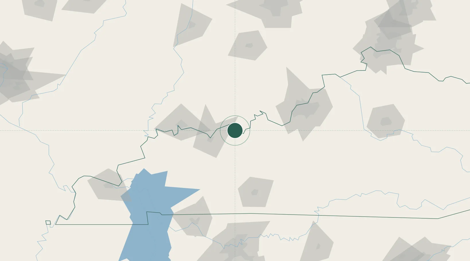
Hawesville
37.9000°, -86.7500°
1,002
Population
4
Transport functions
Transport Functions
Port
Rail
Road
Multimodal
Hub Profile
Place type
Provincial seat
Region
Kentucky
Population
1,002
Time zone
America/Chicago
Elevation
158 m
Location
Nearby Logistics Neighbours
Ports
- 1Gary416 km
- 2Indiana Harbor423 km
- 3Michigan City426 km
- 4Calumet Harbor431 km
- 5Port Of Memphis439 km
Airports
Trade Zones
- 1FTZ No. 177 Evansville77 km
- 2FTZ No. 029 Louisville93 km
- 3FTZ No. 294 Western Kentucky186 km
- 4FTZ No. 078 Nashville193 km
- 5FTZ No. 047 Boone County201 km
DatabookThe Record of Consolidated Knowledge
United States beyond logistics?