Medium airport · United States
Bowling Green Warren County Regional AirportKBWG
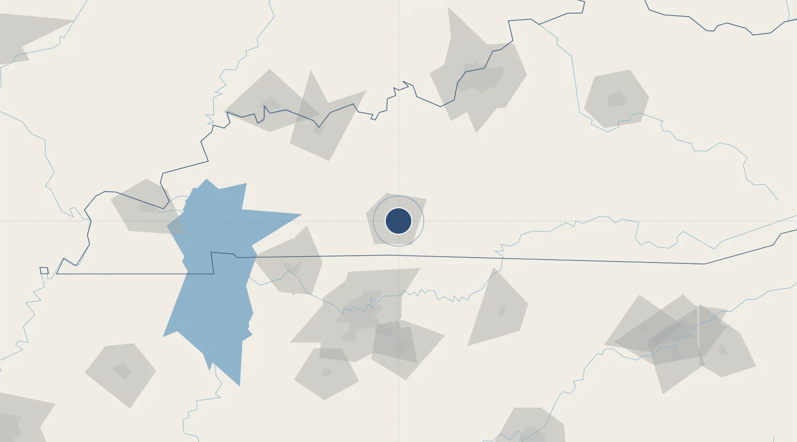
36.9645°, -86.4197°
6,501 ft
Longest runway
2
Runways
547 ft
Elevation
Runway & Layout

Radio Frequencies
ASOS
127.825 MHz
CNTR
133.85 MHz
MEMPHIS CNTR
RDO
122.2 MHz
LOUISVILLE RDO
UNIC
123 MHz
CTAF/UNICOM
Navaids
BW NDB Noora 236 kHz
BWG VORTAC Bowling Green 117.90 MHz
Runways · 2
| Runway | Dimensions | Surface | True heading | Lit |
|---|---|---|---|---|
| 03/21 | 6,501 × 150ft | Asphalt | 030° | ✓ |
| 12/30 | 3,956 × 150ft | Asphalt | 120° | ✓ |
Airport Specifications
IATA code
BWG
ICAO code
KBWG
Airport class
Medium airport
Scheduled service
No
Runway surface
Asphalt
Served city
Bowling Green
Location
Nearby Logistics Neighbours
Airports
- 1Nashville International Airport96 km
- 2Campbell Army Airfield (Fort Campbell)101 km
- 3Smyrna Airport107 km
- 4Owensboro Daviess County Airport109 km
- 5Godman Army Air Field112 km
Cities
- 1Woodburn16 km
- 2Woorburn18 km
- 3South Union22 km
- 4Logansport37 km
- 5Russellville44 km
Ports
- 1Port Of Memphis398 km
- 2Gary523 km
- 3Indiana Harbor530 km
- 4Michigan City532 km
- 5Calumet Harbor539 km
Trade Zones
- 1FTZ No. 078 Nashville104 km
- 2FTZ No. 029 Louisville155 km
- 3FTZ No. 177 Evansville156 km
- 4FTZ No. 294 Western Kentucky192 km
- 5FTZ No. 148 Knoxville224 km
DatabookThe Record of Consolidated Knowledge
United States beyond logistics?