Medium airport · United States
Orlando Executive AirportKORL
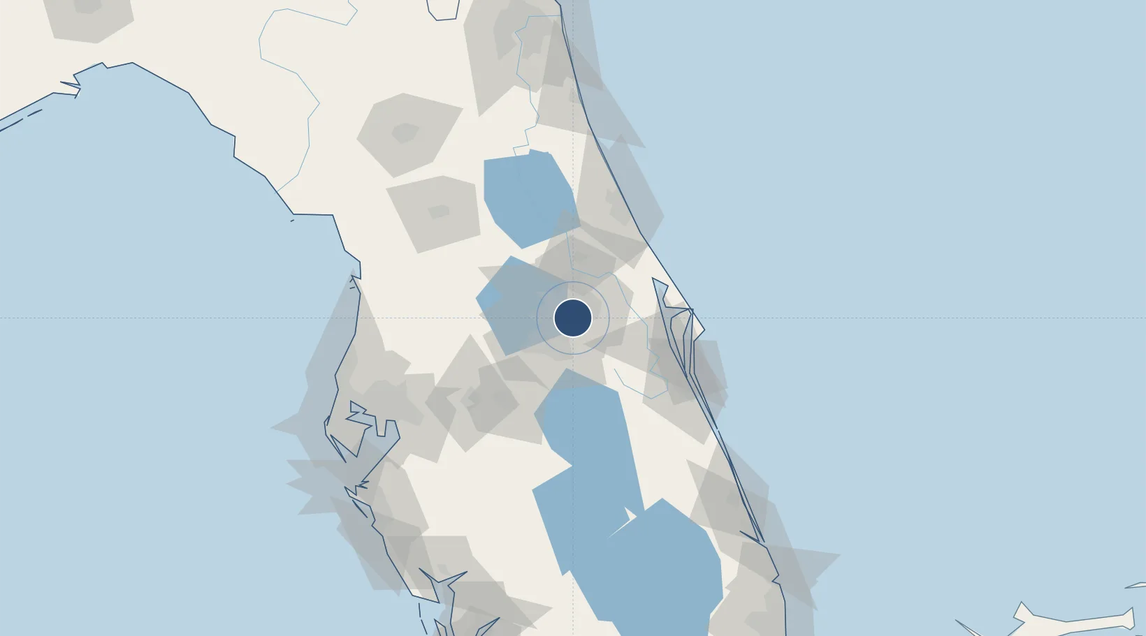
28.5455°, -81.3329°
6,004 ft
Longest runway
2
Runways
113 ft
Elevation
Runway & Layout

Radio Frequencies
ATIS
127.25 MHz
TWR
118.7 MHz
GND
121.4 MHz
CLD
128.45 MHz
CLNC DEL
CTAF
118.7 MHz
A/D
119.4 MHz
ORLANDO APP/DEP SW
A/D
119.775 MHz
ORLANDO APP/DEP 061-180° 4500' AND BELOW
A/D
120.15 MHz
ORLANDO APP/DEP 181-359° ABOVE 5500'
A/D
124.8 MHz
ORLANDO APP/DEP 000-180° ABOVE 5000'
A/D
135.3 MHz
ORLANDO APP/DEP 311-060° 5500' AND BELOW
RDO
122.1 MHz
ST PETERSBURG RDO
RDO
122.2 MHz
ST PETERSBURG RDO
UNIC
122.95 MHz
UNICOM
Runways · 2
| Runway | Dimensions | Surface | True heading | Lit |
|---|---|---|---|---|
| 07/25 | 6,004 × 150ft | Asphalt | 067° | ✓ |
| 13/31 | 4,625 × 100ft | Asphalt | 131° | ✓ |
Airport Specifications
IATA code
ORL
ICAO code
KORL
Airport class
Medium airport
Scheduled service
No
Runway surface
Asphalt
Served city
Orlando
Location
Nearby Logistics Neighbours
Airports
Cities
- 1Bay Lake5 km
- 2Maitland9 km
- 3Casselberry15 km
- 4Winter Springs16 km
- 5Oviedo19 km
Ports
- 1Canaveral Harbor72 km
- 2Tampa130 km
- 3Tarpon Springs147 km
- 4St Augustine151 km
- 5Sankt-Peterburg153 km
Trade Zones
- 1FTZ No. 042 Orlando19 km
- 2FTZ No. 250 Seminole County22 km
- 3FTZ No. 136 Brevard County28 km
- 4FTZ No. 198 Volusia County54 km
- 5FTZ No. 215 Sebring121 km
DatabookThe Record of Consolidated Knowledge
United States beyond logistics?