UN/LOCODE hub · United States
USOGC
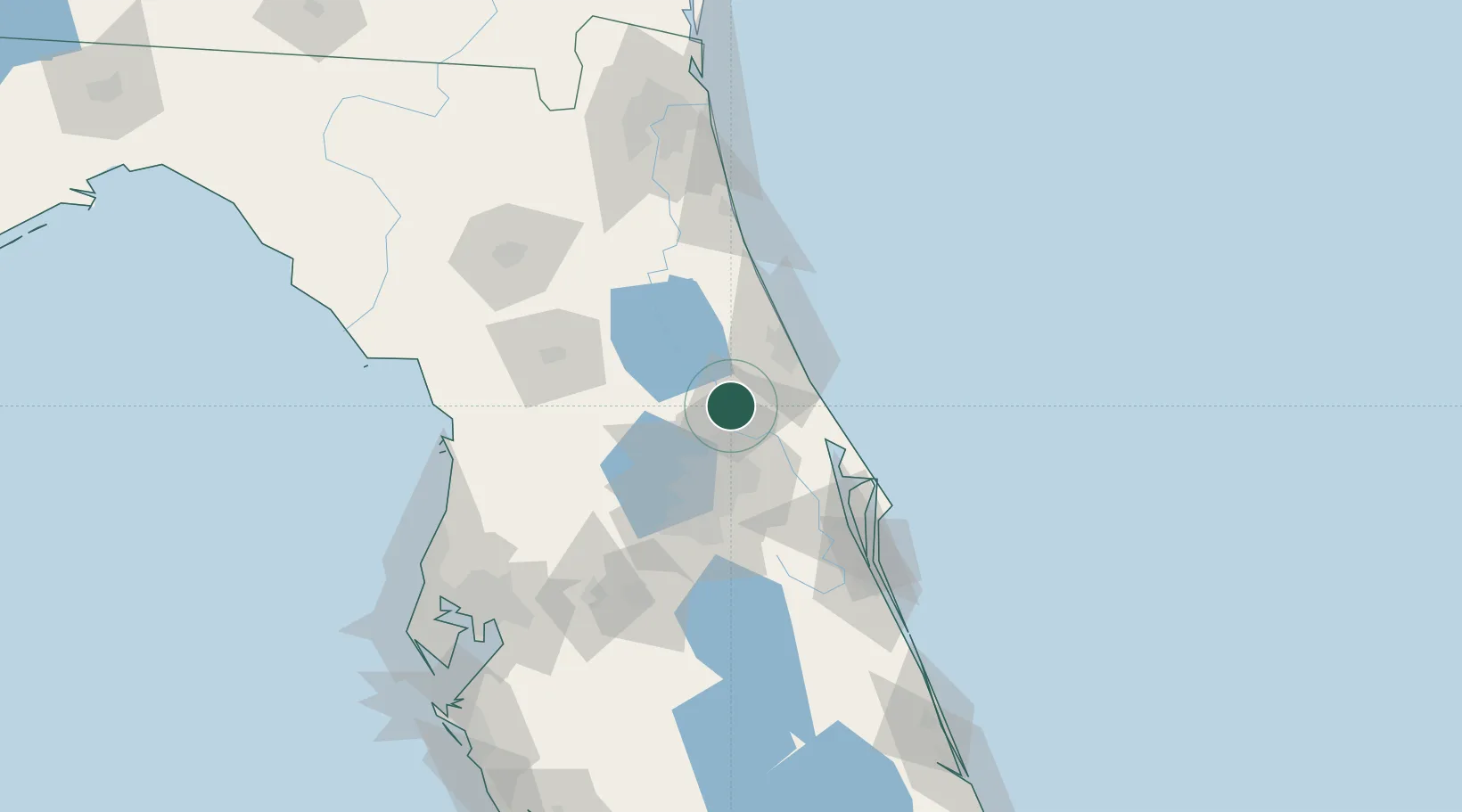
Orange City
28.9500°, -81.3000°
11,210
Population
2
Transport functions
Transport Functions
Road
Multimodal
Hub Profile
Place type
Populated place
Region
Florida
Population
11,210
Time zone
America/New_York
Elevation
9 m
Location
Nearby Logistics Neighbours
Cities
- 1Cutler Ridge8 km
- 2Paisley23 km
- 3Sorrento30 km
- 4Winter Springs30 km
- 5Casselberry30 km
Ports
- 1Canaveral Harbor72 km
- 2St Augustine106 km
- 3Jacksonville156 km
- 4Tampa161 km
- 5Mayport162 km
Airports
Trade Zones
- 1FTZ No. 198 Volusia County17 km
- 2FTZ No. 250 Seminole County24 km
- 3FTZ No. 042 Orlando56 km
- 4FTZ No. 136 Brevard County72 km
- 5FTZ No. 079 Tampa158 km
DatabookThe Record of Consolidated Knowledge
United States beyond logistics?