Transport Functions
Rail
Road
Hub Profile
Place type
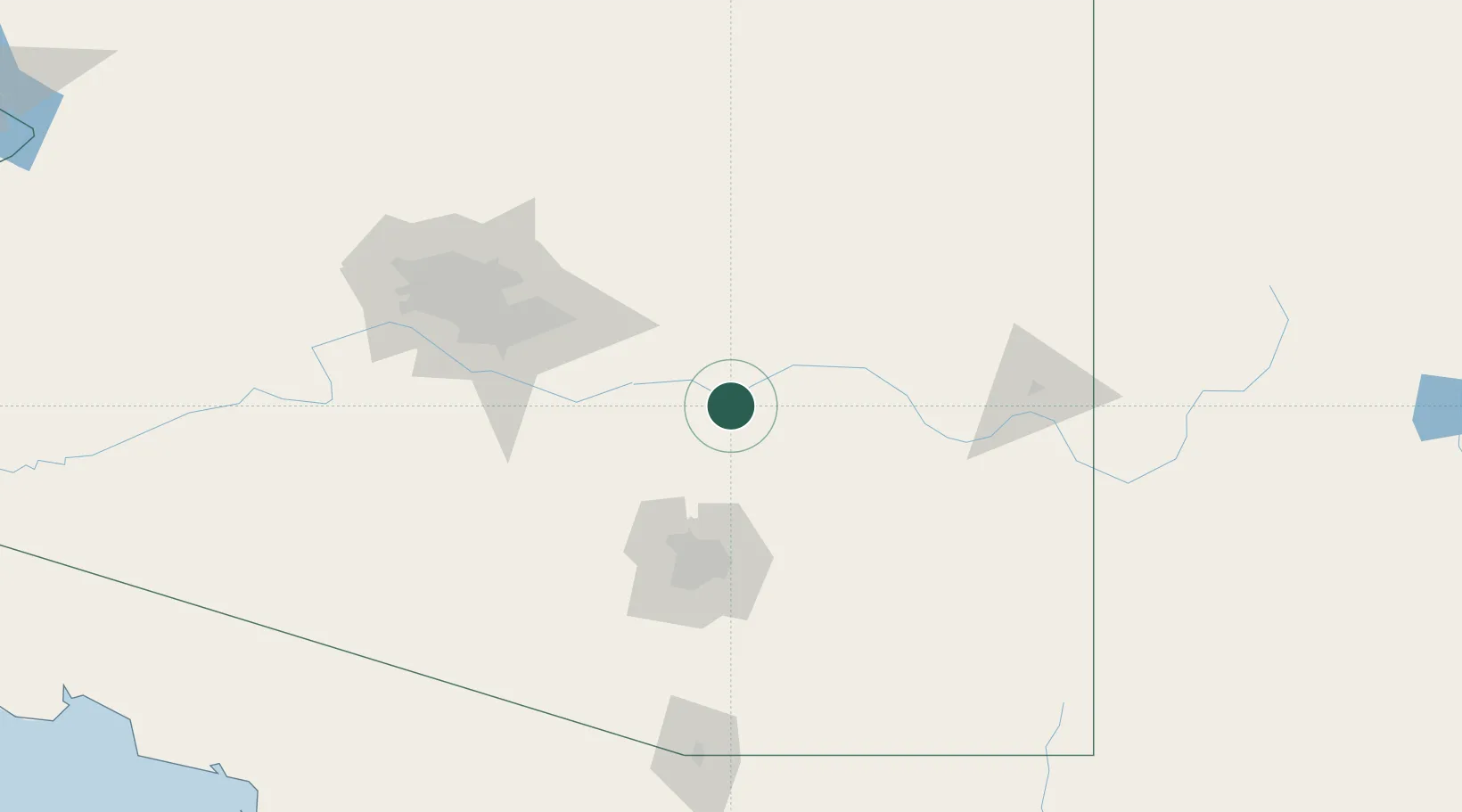
Populated place
Region
Arizona
Population
650
Time zone
America/Phoenix
Elevation
623 m
Location
Nearby Logistics Neighbours
Cities
- 1San Carlos, Graham50 km
- 2Magma68 km
- 3Coolidge69 km
- 4Eloy77 km
- 5South Tucson92 km
Ports
- 1Ensenada563 km
- 2Guaymas565 km
- 3Rosarito595 km
- 4San Diego599 km
- 5Santa Rosalia646 km
Airports
Trade Zones
- 1FTZ No. 174 Pima County81 km
- 2FTZ No. 221 Mesa108 km
- 3FTZ No. 075 Phoenix130 km
- 4FTZ No. 277 Western Maricopa County150 km
- 5FTZ No. 139 Sierra Vista167 km
DatabookThe Record of Consolidated Knowledge
United States beyond logistics?