Transport Functions
Rail
Road
Hub Profile
Place type
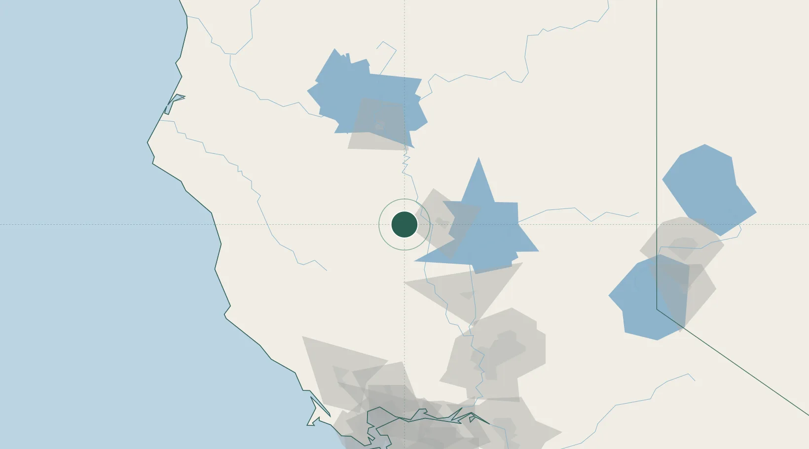
Populated place
Region
California
Population
7,550
Time zone
America/Los_Angeles
Elevation
79 m
Location
Nearby Logistics Neighbours
Cities
- 1Proberta39 km
- 2Nelson41 km
- 3Forest Ranch47 km
- 4Richvale48 km
- 5Maxwell52 km
Ports
- 1Sacramento141 km
- 2Fort Bragg144 km
- 3Courtland165 km
- 4Bodega Bay173 km
- 5Walnut Grove177 km
Airports
- 1Red Bluff Municipal Airport47 km
- 2Redding Municipal Airport87 km
- 3Yuba County Airport88 km
- 4Beale Air Force Base92 km
- 5Ukiah Municipal Airport111 km
Trade Zones
- 1FTZ No. 143 West Sacramento140 km
- 2FTZ No. 248 Eureka206 km
- 3FTZ No. 126 Sparks206 km
- 4FTZ No. 231 Stockton212 km
- 5FTZ No. 056 Oakland215 km
DatabookThe Record of Consolidated Knowledge
United States beyond logistics?