Medium airport · United States

Ukiah Municipal AirportKUKI

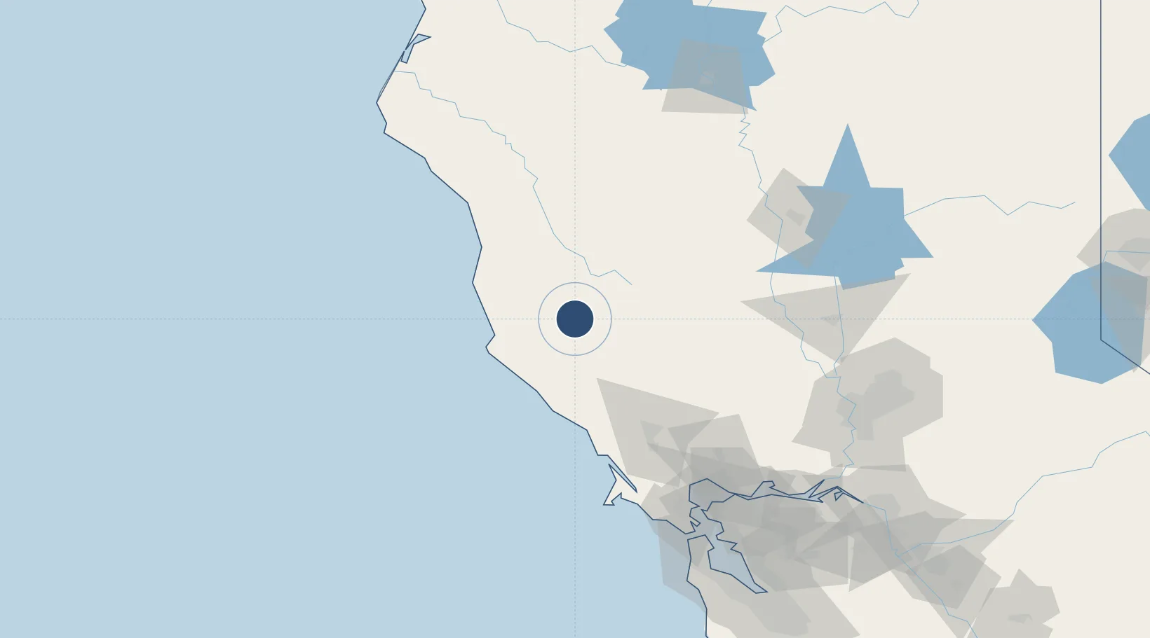
39.1260°, -123.2010°
4,423 ft
Longest runway
1
Runways
614 ft
Elevation

Runway & Layout

Ukiah Municipal Airport runway & taxiway layout
Runway & taxiway layout — OpenStreetMap (ODbL) / OurAirports

Radio Frequencies

ASOS
119.275 MHz
CNTR
127.8 MHz
OAKLAND CNTR
RDO
122 MHz
OAKLAND RDO
UNIC
123 MHz
CTAF/UNICOM
OurAirports

Navaids

ENI VORTAC Mendocino 112.30 MHz
UK NDB Kearn 371 kHz
OurAirports

Runways · 1

RunwayDimensions SurfaceTrue headingLit
15/33 4,423 × 150ft Asphalt 168°
OurAirports

Airport Specifications

IATA code
UKI
OurAirports
ICAO code
KUKI
OurAirports
Airport class
Medium airport
OurAirports
Scheduled service
No
OurAirports
Runway surface
Asphalt
OurAirports
Served city
Ukiah
OurAirports

Location

Location of KUKI
Natural Earth 10m (public domain) · California · KUKI · 39.13, -123.20GoogleOSMYandex

Nearby Logistics Neighbours

Airports
  1. 1Charles M. Schulz Sonoma County Airport76 km
  2. 2Red Bluff Municipal Airport140 km
  3. 3Yuba County Airport141 km
  4. 4Travis Air Force Base146 km
  5. 5Sacramento International Airport147 km
Nearest neighbours — logibook spatial index (haversine) over the source coordinates
Cities
  1. 1Redwood Valley14 km
  2. 2Hopland19 km
  3. 3Philo22 km
  4. 4Kelseyville36 km
  5. 5Cloverdale40 km
Nearest neighbours — logibook spatial index (haversine) over the source coordinates
Ports
  1. 1Fort Bragg64 km
  2. 2Bodega Bay89 km
  3. 3Mare Island140 km
  4. 4South Vallejo142 km
  5. 5Pinole Point143 km
Nearest neighbours — logibook spatial index (haversine) over the source coordinates
Trade Zones
  1. 1FTZ No. 143 West Sacramento157 km
  2. 2FTZ No. 003 San Francisco164 km
  3. 3FTZ No. 056 Oakland168 km
  4. 4FTZ No. 248 Eureka204 km
  5. 5FTZ No. 231 Stockton209 km
Nearest neighbours — logibook spatial index (haversine) over the source coordinates
DatabookThe Record of Consolidated Knowledge
United States beyond logistics?
Browse databook

All Sources

AirportsOurAirports
Public domain
Portsthe NGA World Port Index
Public domain (US gov)
LocationsUN/LOCODE
UN/LOCODE — free
Trade Zonesthe World Bank SEZ database
CC BY 4.0
Trade ZonesOpen Zone Map
CC BY
InfrastructureOpenStreetMap
ODbL 1.0
← United States airports