UN/LOCODE hub · United States
USQSO

Nelson

39.5500°, -121.7667°
3
Transport functions

Transport Functions

Rail
Road
Multimodal
UN/LOCODE

Hub Profile

Place type
Populated place
GeoNames
Region
California
GeoNames
Time zone
America/Los_Angeles
GeoNames
Elevation
37 m
GeoNames

Location

Location of USQSO
Natural Earth 10m (public domain) · California · USQSO · 39.55, -121.77GoogleOSMYandex

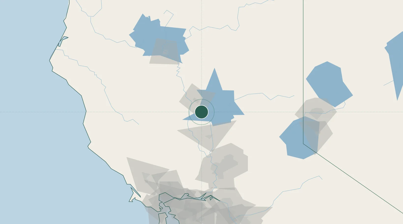
Nearby Logistics Neighbours

Cities
  1. 1Richvale8 km
  2. 2Gridley21 km
  3. 3Live Oak33 km
  4. 4Berry Creek33 km
  5. 5Sunset35 km
Nearest neighbours — logibook spatial index (haversine) over the source coordinates
Ports
  1. 1Sacramento110 km
  2. 2Courtland136 km
  3. 3Walnut Grove148 km
  4. 4Isleton155 km
  5. 5Rio Vista156 km
Nearest neighbours — logibook spatial index (haversine) over the source coordinates
Airports
  1. 1Yuba County Airport53 km
  2. 2Beale Air Force Base54 km
  3. 3Red Bluff Municipal Airport79 km
  4. 4Sacramento International Airport96 km
  5. 5McClellan Airfield103 km
Nearest neighbours — logibook spatial index (haversine) over the source coordinates
Trade Zones
  1. 1FTZ No. 143 West Sacramento110 km
  2. 2FTZ No. 126 Sparks170 km
  3. 3FTZ No. 231 Stockton182 km
  4. 4FTZ No. 056 Oakland199 km
  5. 5FTZ No. 003 San Francisco202 km
Nearest neighbours — logibook spatial index (haversine) over the source coordinates
DatabookThe Record of Consolidated Knowledge
United States beyond logistics?
Browse databook

All Sources

LocationsUN/LOCODE
UN/LOCODE — free
Portsthe NGA World Port Index
Public domain (US gov)
AirportsOurAirports
Public domain
Trade Zonesthe World Bank SEZ database
CC BY 4.0
Trade ZonesOpen Zone Map
CC BY
← United States locations