UN/LOCODE hub · United States
USYWW
Cokeville
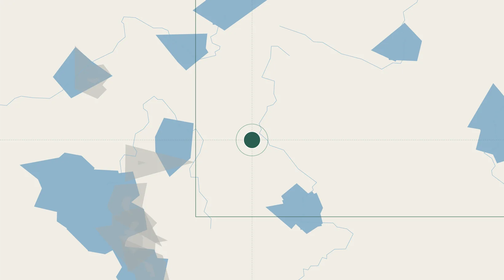
42.0667°, -110.2667°
541
Population
2
Transport functions
Transport Functions
Port
Multimodal
Hub Profile
Place type
Populated place
Region
Wyoming
Population
541
Time zone
America/Denver
Elevation
1,888 m
Location
Nearby Logistics Neighbours
Cities
- 1Diamondville40 km
- 2Reliance100 km
- 3Soda Springs127 km
- 4Richmond128 km
- 5Point of Rocks131 km
Ports
- 1The Dalles959 km
- 2Sacramento1027 km
- 3Stockton1044 km
- 4Courtland1045 km
- 5Walnut Grove1046 km
Airports
- 1Miley Memorial Field59 km
- 2Ralph Wenz Field89 km
- 3Evanston-Uinta County Airport-Burns Field109 km
- 4Southwest Wyoming Regional Airport113 km
- 5Logan-Cache Airport135 km
Trade Zones
- 1FTZ No. 030 Salt Lake City203 km
- 2FTZ No. 275 Lansing475 km
- 3FTZ No. 274 Butte-Silver Bow477 km
- 4FTZ No. 298 Jefferson County501 km
- 5FTZ No. 123 Denver513 km
DatabookThe Record of Consolidated Knowledge
United States beyond logistics?