Medium airport · United States
Ralph Wenz FieldKPNA
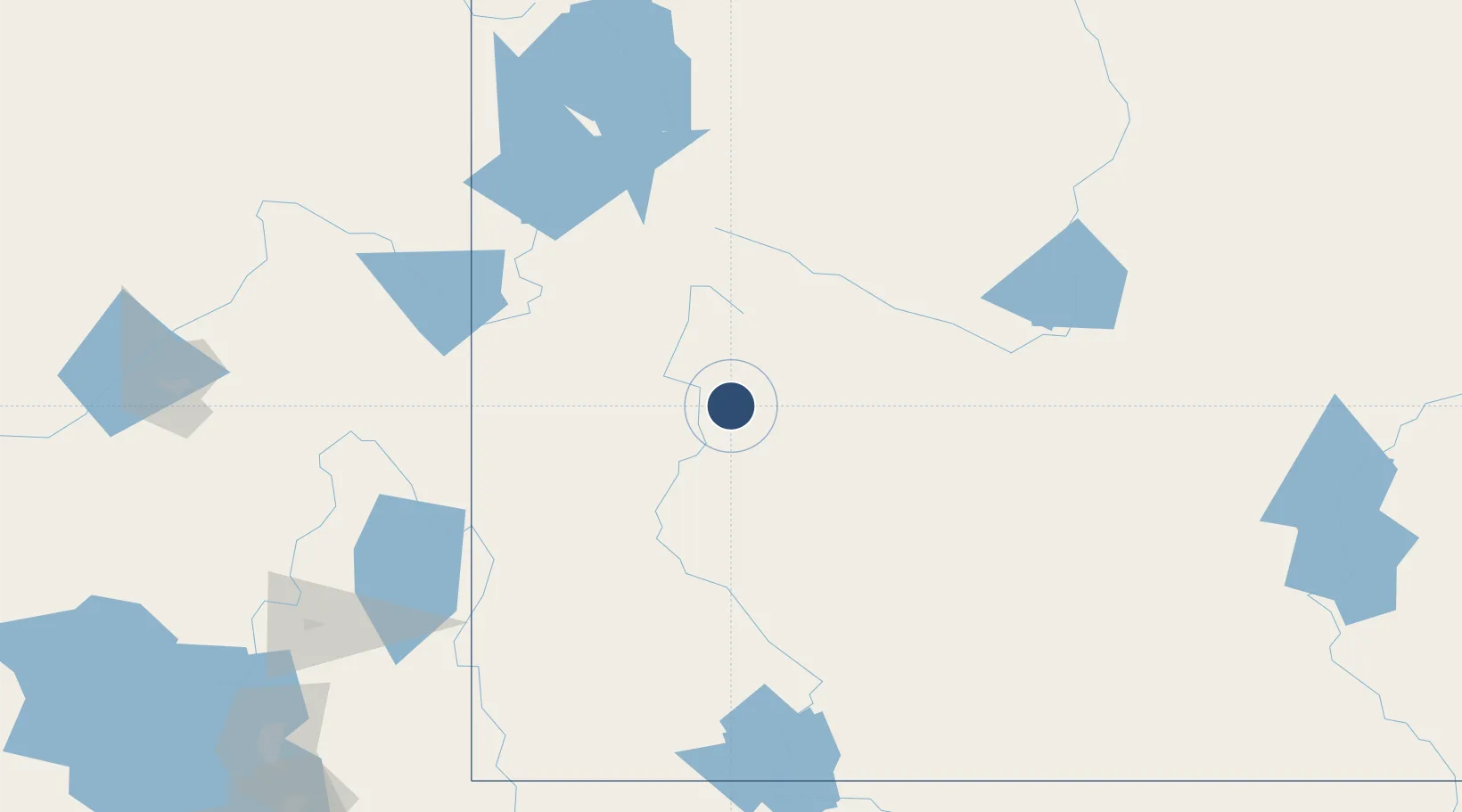
42.7955°, -109.8070°
8,900 ft
Longest runway
1
Runways
7,102 ft
Elevation
Runway & Layout

Radio Frequencies
AWOS
118.325 MHz
AWOS 3
CNTR
128.35 MHz
SALT LAKE CITY CNTR
UNIC
122.8 MHz
CTAF/UNICOM
Runways · 1
| Runway | Dimensions | Surface | True heading | Lit |
|---|---|---|---|---|
| 11/29 | 8,900 × 100ft | Asphalt | 123° | ✓ |
Airport Specifications
IATA code
PWY
ICAO code
KPNA
Airport class
Medium airport
Scheduled service
No
Runway surface
Asphalt
Served city
Pinedale
Location
Nearby Logistics Neighbours
Airports
- 1Miley Memorial Field34 km
- 2Hunt Field88 km
- 3Central Wyoming Regional Airport114 km
- 4Jackson Hole Airport118 km
- 5Southwest Wyoming Regional Airport147 km
Cities
- 1Cokeville89 km
- 2Diamondville129 km
- 3Reliance136 km
- 4Alta145 km
- 5Soda Springs147 km
Ports
- 1The Dalles958 km
- 2Sacramento1090 km
- 3Courtland1109 km
- 4Walnut Grove1111 km
- 5Stockton1111 km
Trade Zones
- 1FTZ No. 030 Salt Lake City288 km
- 2FTZ No. 275 Lansing418 km
- 3FTZ No. 274 Butte-Silver Bow425 km
- 4FTZ No. 298 Jefferson County516 km
- 5FTZ No. 123 Denver527 km
DatabookThe Record of Consolidated Knowledge
United States beyond logistics?