UN/LOCODE hub · United States
USDM4
Diamondville
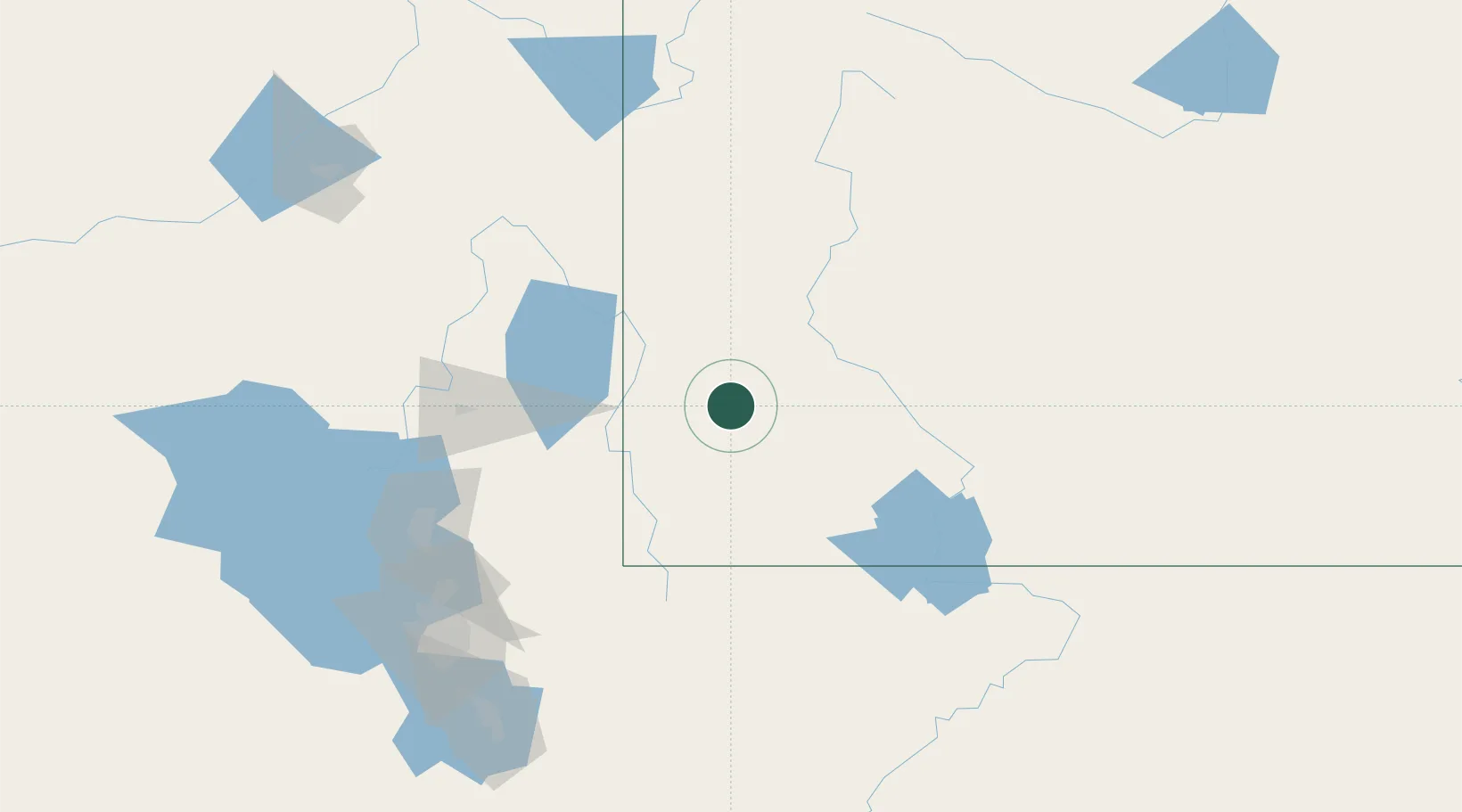
41.7667°, -110.5333°
738
Population
1
Transport functions
Transport Functions
Port
Hub Profile
Place type
Populated place
Region
Wyoming
Population
738
Time zone
America/Denver
Elevation
2,101 m
Location
Nearby Logistics Neighbours
Cities
- 1Cokeville40 km
- 2Henefer104 km
- 3North Logan106 km
- 4Richmond107 km
- 5Smithfield108 km
Ports
- 1The Dalles956 km
- 2Sacramento996 km
- 3Stockton1011 km
- 4Courtland1013 km
- 5Walnut Grove1014 km
Airports
- 1Evanston-Uinta County Airport-Burns Field69 km
- 2Miley Memorial Field97 km
- 3Logan-Cache Airport109 km
- 4Southwest Wyoming Regional Airport123 km
- 5Ralph Wenz Field129 km
Trade Zones
- 1FTZ No. 030 Salt Lake City164 km
- 2FTZ No. 274 Butte-Silver Bow498 km
- 3FTZ No. 275 Lansing499 km
- 4FTZ No. 298 Jefferson County506 km
- 5FTZ No. 123 Denver518 km
DatabookThe Record of Consolidated Knowledge
United States beyond logistics?