Transport Functions
Road
Multimodal
Hub Profile
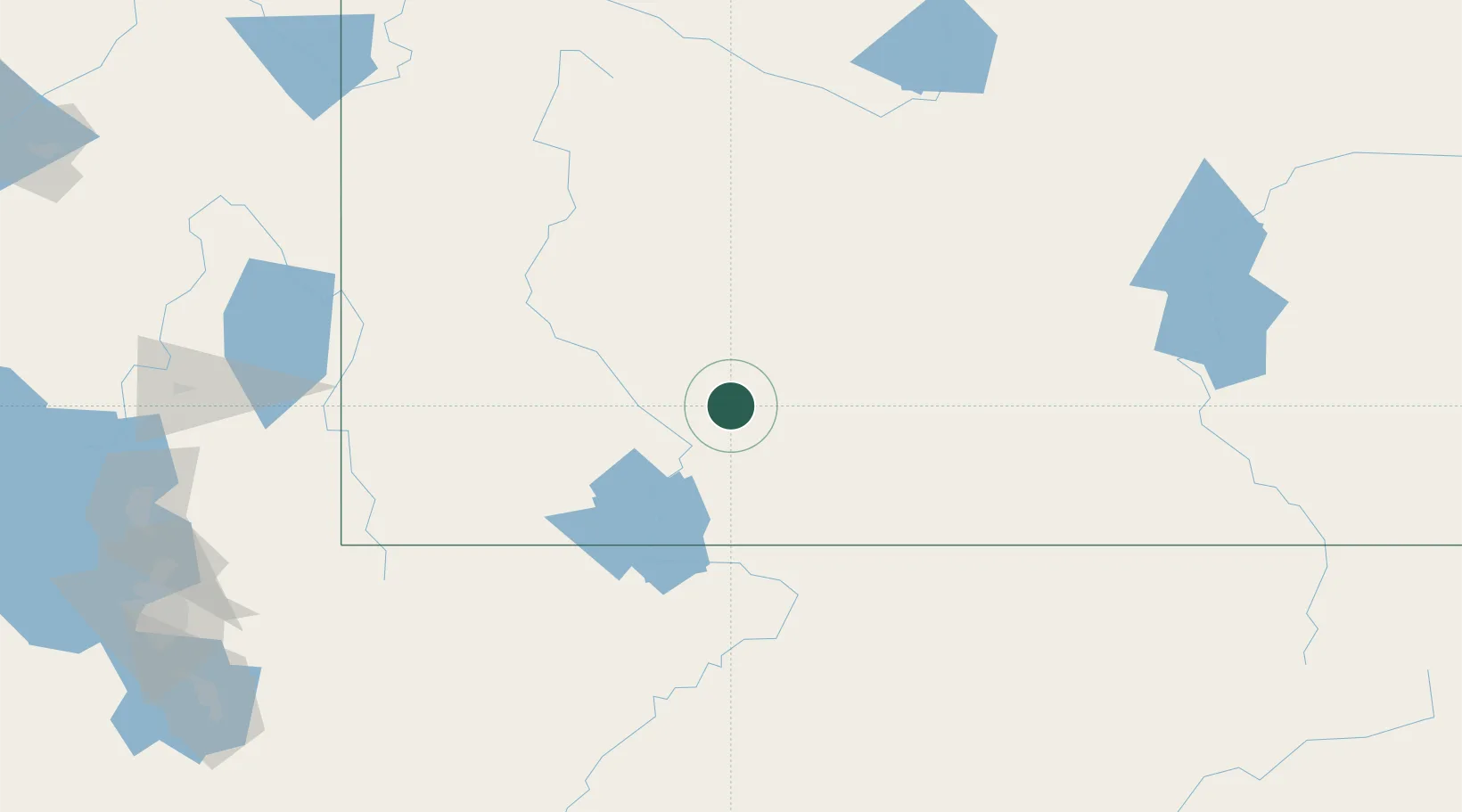
Place type
Populated place
Region
Wyoming
Population
714
Time zone
America/Denver
Elevation
1,990 m
Location
Nearby Logistics Neighbours
Cities
- 1Point of Rocks35 km
- 2Cokeville100 km
- 3Diamondville113 km
- 4Henefer200 km
- 5North Logan219 km
Ports
- 1The Dalles1059 km
- 2Sacramento1101 km
- 3Stockton1113 km
- 4Courtland1117 km
- 5Walnut Grove1117 km
Airports
- 1Southwest Wyoming Regional Airport13 km
- 2Miley Memorial Field128 km
- 3Hunt Field133 km
- 4Ralph Wenz Field136 km
- 5Vernal Regional Airport140 km
Trade Zones
- 1FTZ No. 030 Salt Lake City255 km
- 2FTZ No. 298 Jefferson County401 km
- 3FTZ No. 123 Denver413 km
- 4FTZ No. 112 Colorado Springs486 km
- 5FTZ No. 293 Limon536 km
DatabookThe Record of Consolidated Knowledge
United States beyond logistics?