UN/LOCODE hub · United States
USZFP
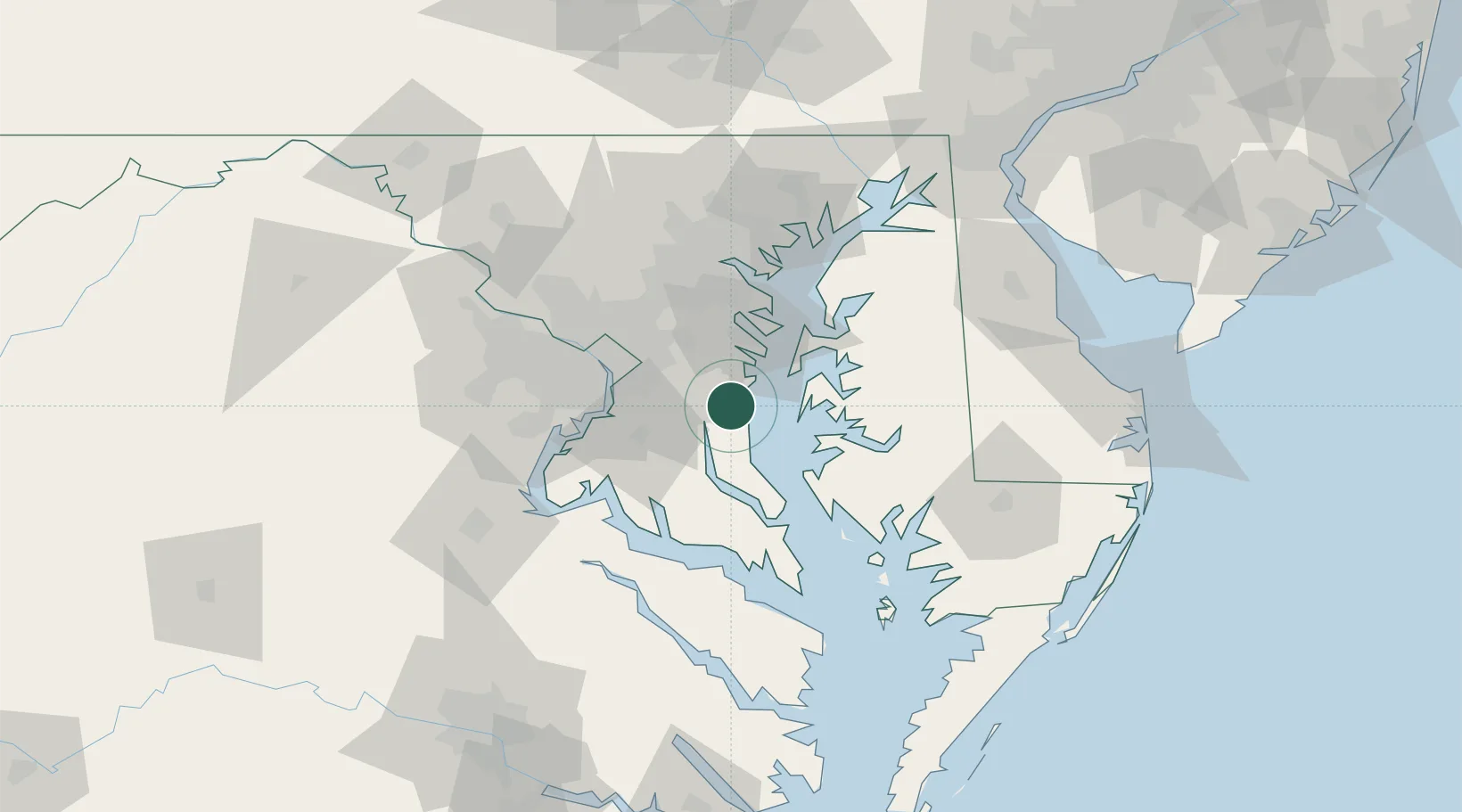
Friendship
38.7333°, -76.5833°
447
Population
2
Transport functions
Transport Functions
Road
Multimodal
Hub Profile
Place type
Populated place
Region
Maryland
Population
447
Time zone
America/New_York
Elevation
44 m
Location
Nearby Logistics Neighbours
Cities
- 1North Beach7 km
- 2Harwood13 km
- 3Upper Malboro16 km
- 4Prince Frederick22 km
- 5Mitchellville25 km
Ports
- 1Annapolis29 km
- 2Alexandria40 km
- 3Washington D.C.42 km
- 4Solomons Island48 km
- 5Baltimore59 km
Airports
Trade Zones
DatabookThe Record of Consolidated Knowledge
United States beyond logistics?