UN/LOCODE hub · United States
USILV

Silvis

41.5000°, -90.4000°
7,491
Population
3
Transport functions

Transport Functions

Rail
Road
Multimodal
UN/LOCODE

Hub Profile

Place type
Populated place
GeoNames
Region
Illinois
GeoNames
Population
7,491
GeoNames
Time zone
America/Chicago
GeoNames
Elevation
181 m
GeoNames

Location

Location of USILV
Natural Earth 10m (public domain) · Illinois · USILV · 41.50, -90.40GoogleOSMYandex

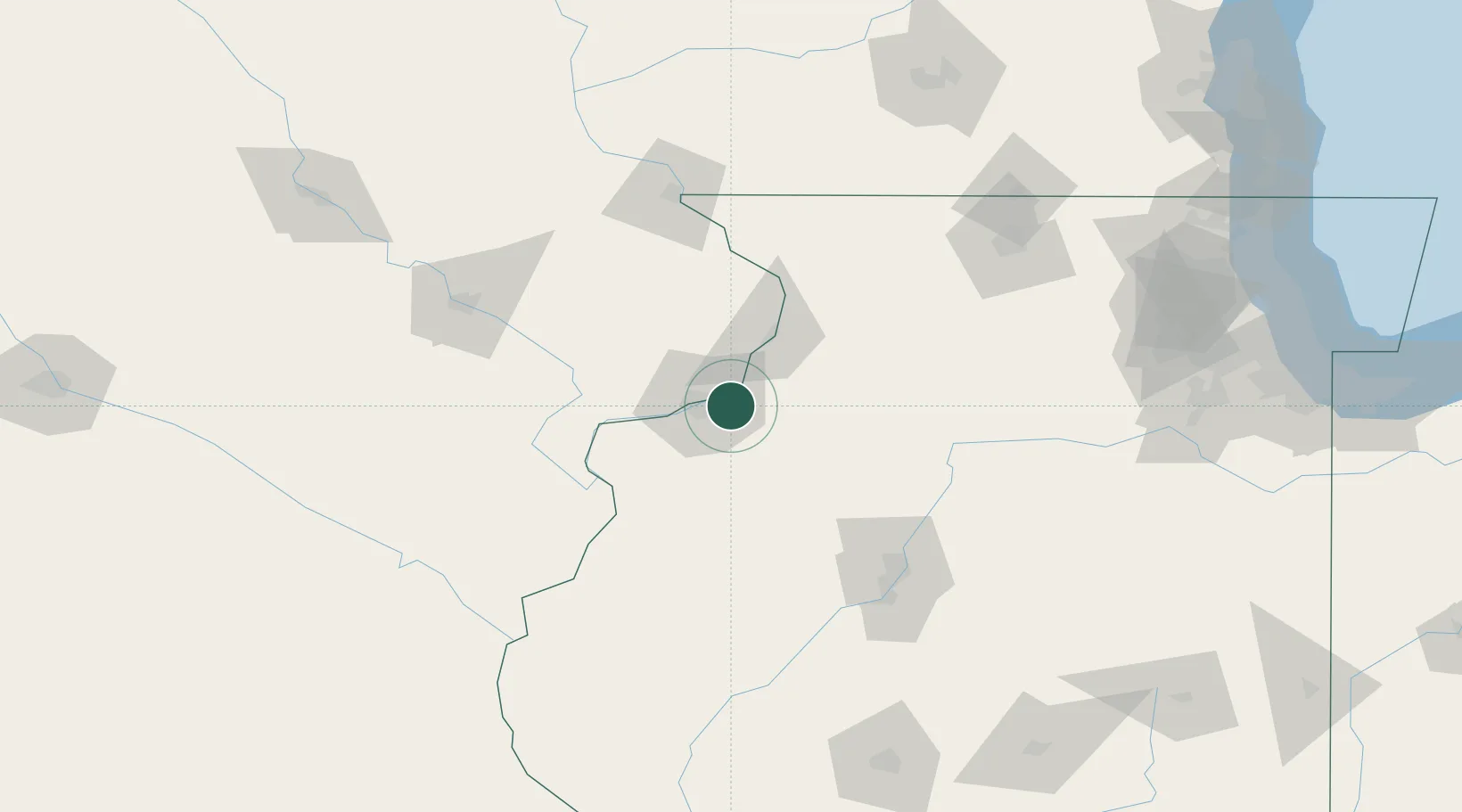
Nearby Logistics Neighbours

Cities
  1. 1Coal Valley10 km
  2. 2Oak Grove18 km
  3. 3Osco19 km
  4. 4Princeton19 km
  5. 5Cordova20 km
Nearest neighbours — logibook spatial index (haversine) over the source coordinates
Ports
  1. 1Great Lakes230 km
  2. 2Wilmette234 km
  3. 3Waukegan234 km
  4. 4Chicago236 km
  5. 5Calumet Harbor241 km
Nearest neighbours — logibook spatial index (haversine) over the source coordinates
Airports
  1. 1Quad City International Airport11 km
  2. 2Southeast Iowa Regional Airport100 km
  3. 3Dubuque Regional Airport104 km
  4. 4General Wayne A. Downing Peoria International Airport110 km
  5. 5The Eastern Iowa Airport117 km
Nearest neighbours — logibook spatial index (haversine) over the source coordinates
Trade Zones
  1. 1FTZ No. 271 Jo-Daviess and Carroll Counties92 km
  2. 2FTZ No. 055 Burlington97 km
  3. 3FTZ No. 114 Peoria112 km
  4. 4FTZ No. 175 Cedar Rapids127 km
  5. 5FTZ No. 176 Rockford129 km
Nearest neighbours — logibook spatial index (haversine) over the source coordinates
DatabookThe Record of Consolidated Knowledge
United States beyond logistics?
Browse databook

All Sources

LocationsUN/LOCODE
UN/LOCODE — free
LocationsGeoNames
CC BY 4.0
Portsthe NGA World Port Index
Public domain (US gov)
AirportsOurAirports
Public domain
Trade Zonesthe World Bank SEZ database
CC BY 4.0
Trade ZonesOpen Zone Map
CC BY
← United States locations