UN/LOCODE hub · United States
USZCV
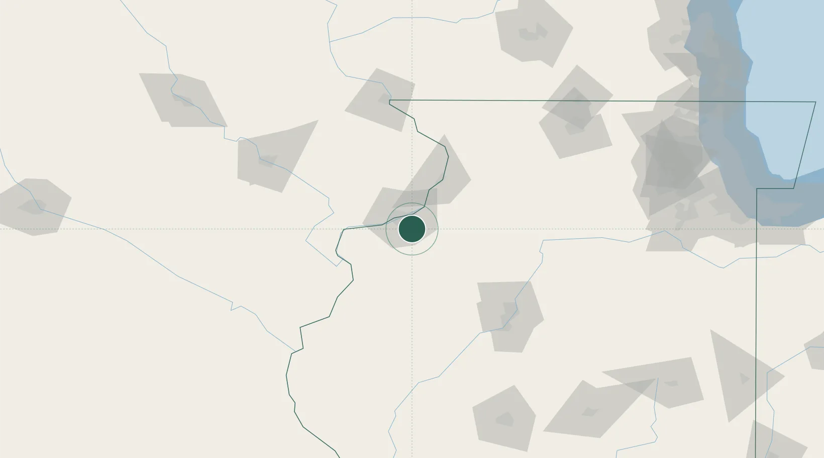
Coal Valley
41.4167°, -90.4500°
3,748
Population
3
Transport functions
Transport Functions
Port
Road
Multimodal
Hub Profile
Place type
Populated place
Region
Illinois
Population
3,748
Time zone
America/Chicago
Elevation
190 m
Location
Nearby Logistics Neighbours
Ports
- 1Great Lakes238 km
- 2Wilmette241 km
- 3Waukegan242 km
- 4Chicago242 km
- 5Calumet Harbor247 km
Airports
Trade Zones
- 1FTZ No. 055 Burlington87 km
- 2FTZ No. 271 Jo-Daviess and Carroll Counties101 km
- 3FTZ No. 114 Peoria108 km
- 4FTZ No. 175 Cedar Rapids128 km
- 5FTZ No. 176 Rockford139 km
DatabookThe Record of Consolidated Knowledge
United States beyond logistics?