UN/LOCODE hub · United States
USCUU
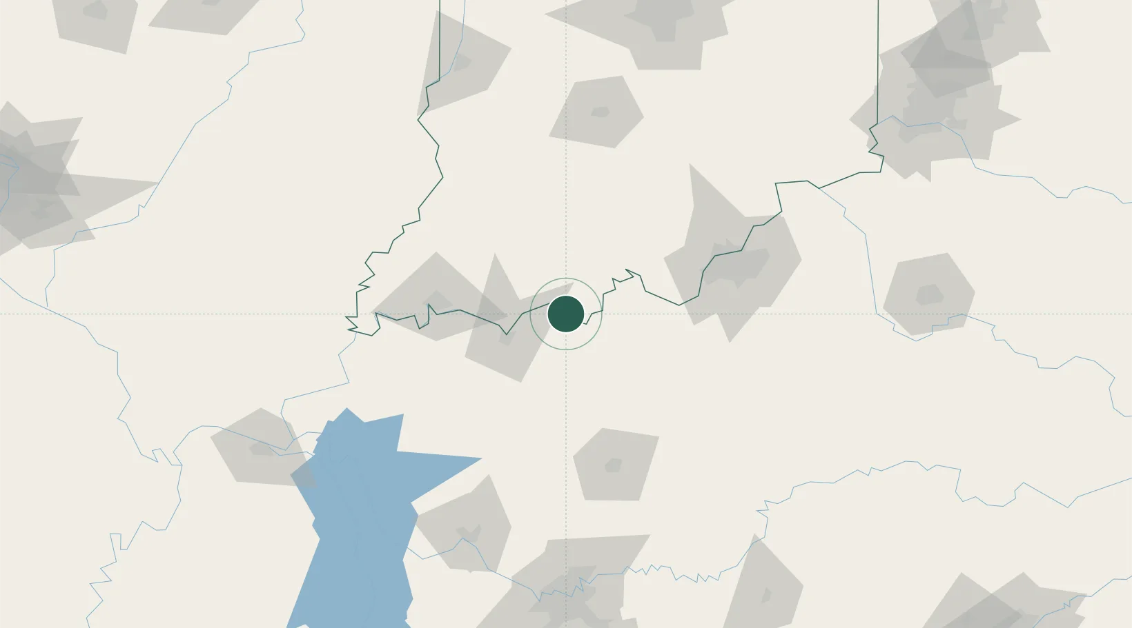
Cannelton
37.9167°, -86.7500°
1,517
Population
2
Transport functions
Transport Functions
Port
Road
Hub Profile
Place type
Populated place
Region
Indiana
Population
1,517
Time zone
America/Indiana/Tell_City
Elevation
125 m
Location
Nearby Logistics Neighbours
Cities
- 1Hawesville2 km
- 2Troy10 km
- 3Lewisport13 km
- 4Grandview21 km
- 5Maceo22 km
Ports
- 1Gary414 km
- 2Indiana Harbor421 km
- 3Michigan City425 km
- 4Calumet Harbor429 km
- 5Port Of Memphis440 km
Airports
Trade Zones
- 1FTZ No. 177 Evansville76 km
- 2FTZ No. 029 Louisville92 km
- 3FTZ No. 294 Western Kentucky187 km
- 4FTZ No. 078 Nashville194 km
- 5FTZ No. 047 Boone County200 km
DatabookThe Record of Consolidated Knowledge
United States beyond logistics?