Channel & Berth Profile
Pilotage, Tugs & Services
Pilotage compulsoryYES
Pilotage availableYES
Tug assistanceYES
Potable waterYES
Diesel bunkersYES
Facilities & Capabilities
Container—
Ro-Ro—
Liquid bulk—
Dry bulk—
Oil terminal—
Break bulk—
Dry dock—
Repairs—
Bunkering—
Rail link—
Dangerous cargo—
ISPS security—
Harbour Specifications
Harbour size
Very Small
Harbour type
Coastal (Natural)
Shelter
Fair
Water body
North Pacific Ocean
Tidal range
1.2 m
Overhead limit
No
Pilotage
Yes
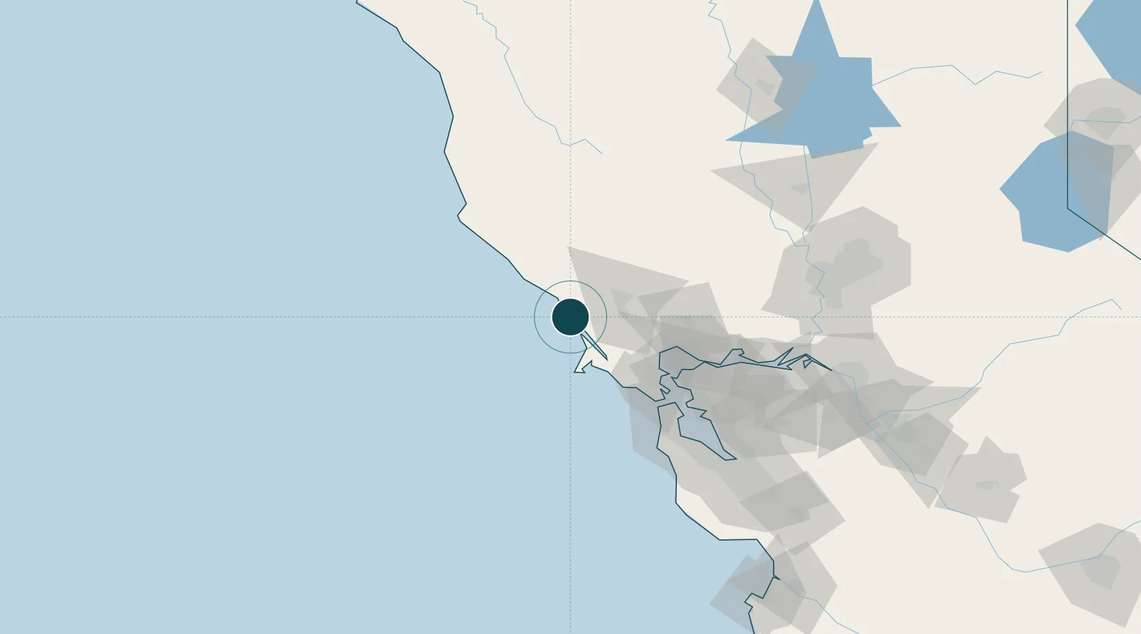
Location
Nearby Logistics Neighbours
Ports
- 1Point San Pablo68 km
- 2Pinole Point69 km
- 3Sausalito73 km
- 4Mare Island73 km
- 5South Vallejo75 km
Cities
- 1Guerneville19 km
- 2Graton20 km
- 3Forestville21 km
- 4Marshall25 km
- 5Cotati31 km
Airports
Trade Zones
- 1FTZ No. 003 San Francisco83 km
- 2FTZ No. 056 Oakland90 km
- 3FTZ No. 143 West Sacramento136 km
- 4FTZ No. 018 San Jose151 km
- 5FTZ No. 231 Stockton157 km
DatabookThe Record of Consolidated Knowledge
United States beyond logistics?