UN/LOCODE hub · United States
USAXW
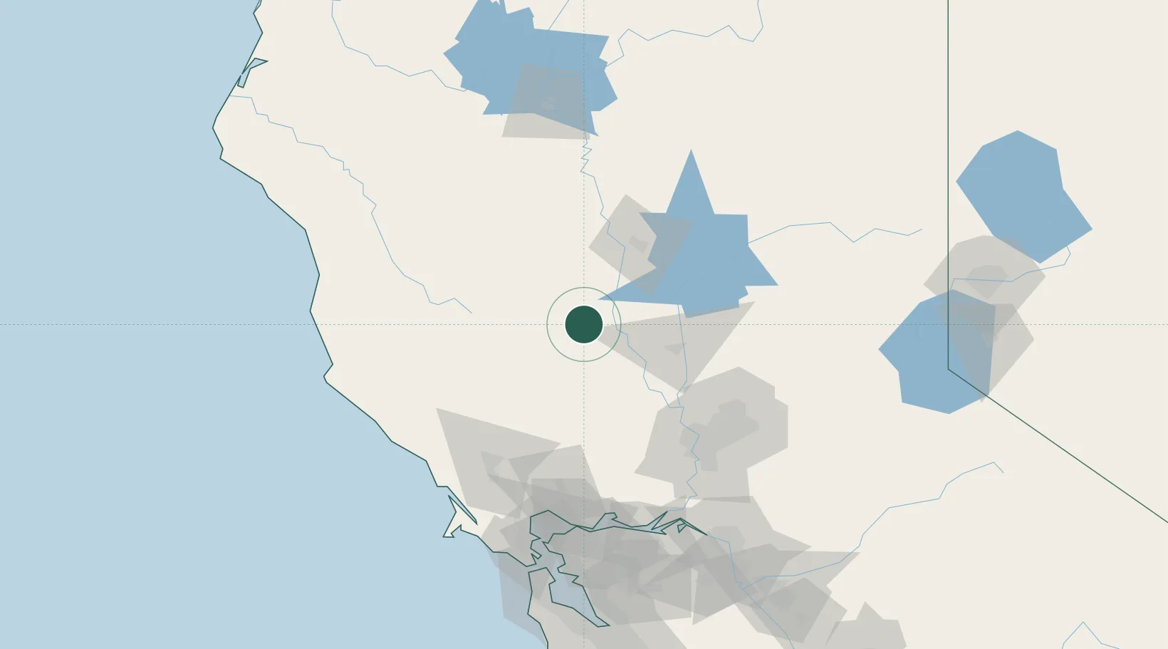
Maxwell
39.2667°, -122.1833°
1,103
Population
3
Transport functions
Transport Functions
Rail
Road
Multimodal
Hub Profile
Place type
Populated place
Region
California
Population
1,103
Time zone
America/Los_Angeles
Elevation
28 m
Location
Nearby Logistics Neighbours
Cities
- 1Williams13 km
- 2Grimes34 km
- 3Beale Air Force Base41 km
- 4Gridley43 km
- 5Live Oak45 km
Ports
- 1Sacramento96 km
- 2Courtland117 km
- 3Bodega Bay128 km
- 4Walnut Grove129 km
- 5Mare Island130 km
Airports
- 1Yuba County Airport56 km
- 2Beale Air Force Base66 km
- 3Sacramento International Airport82 km
- 4Ukiah Municipal Airport89 km
- 5McClellan Airfield95 km
Trade Zones
- 1FTZ No. 143 West Sacramento95 km
- 2FTZ No. 056 Oakland163 km
- 3FTZ No. 231 Stockton164 km
- 4FTZ No. 003 San Francisco164 km
- 5FTZ No. 126 Sparks209 km
DatabookThe Record of Consolidated Knowledge
United States beyond logistics?