Transport Functions
Multimodal
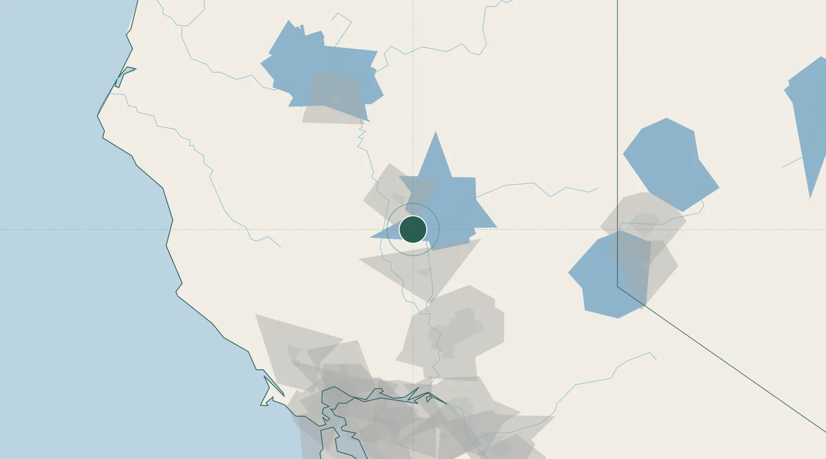
Hub Profile
Place type
Populated place
Region
California
Population
244
Time zone
America/Los_Angeles
Elevation
33 m
Location
Nearby Logistics Neighbours
Cities
- 1Nelson8 km
- 2Gridley13 km
- 3Live Oak25 km
- 4Sunset27 km
- 5Beale Air Force Base30 km
Ports
- 1Sacramento102 km
- 2Courtland129 km
- 3Walnut Grove140 km
- 4Isleton147 km
- 5Rio Vista148 km
Airports
- 1Yuba County Airport45 km
- 2Beale Air Force Base46 km
- 3Red Bluff Municipal Airport86 km
- 4Sacramento International Airport89 km
- 5McClellan Airfield95 km
Trade Zones
- 1FTZ No. 143 West Sacramento102 km
- 2FTZ No. 126 Sparks167 km
- 3FTZ No. 231 Stockton174 km
- 4FTZ No. 056 Oakland192 km
- 5FTZ No. 003 San Francisco196 km
DatabookThe Record of Consolidated Knowledge
United States beyond logistics?