Transport Functions
Rail
Road
Hub Profile
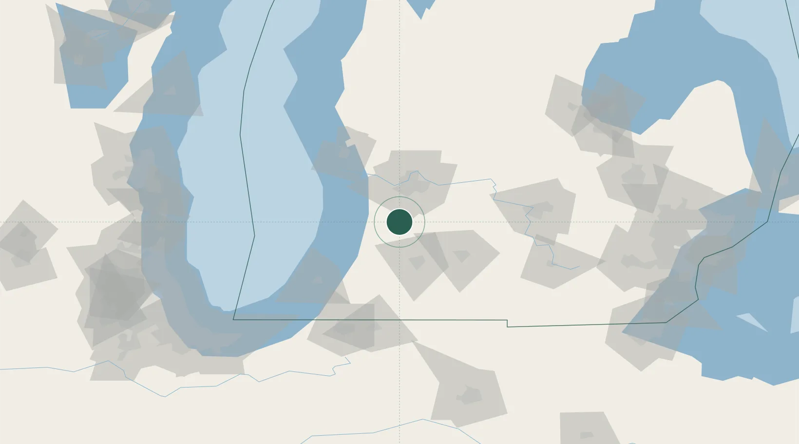
Place type
Populated place
Region
Michigan
Population
608
Time zone
America/Detroit
Elevation
217 m
Location
Nearby Logistics Neighbours
Ports
- 1Holland36 km
- 2South Haven50 km
- 3Grand Haven64 km
- 4Muskegon80 km
- 5St Joseph82 km
Airports
Trade Zones
DatabookThe Record of Consolidated Knowledge
United States beyond logistics?