Transport Functions
Rail
Road
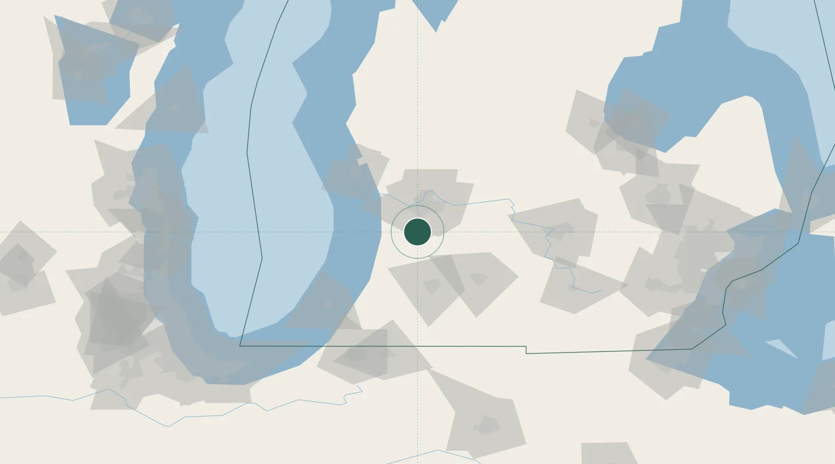
Hub Profile
Place type
Populated place
Region
Michigan
Time zone
America/Detroit
Elevation
213 m
Location
Nearby Logistics Neighbours
Cities
- 1Wayland9 km
- 2Hopkins11 km
- 3Caledonia18 km
- 4Grand Rapids20 km
- 5Jenison22 km
Ports
- 1Holland35 km
- 2Grand Haven57 km
- 3South Haven58 km
- 4Muskegon73 km
- 5White Lake90 km
Airports
Trade Zones
DatabookThe Record of Consolidated Knowledge
United States beyond logistics?