Transport Functions
Rail
Road
Hub Profile
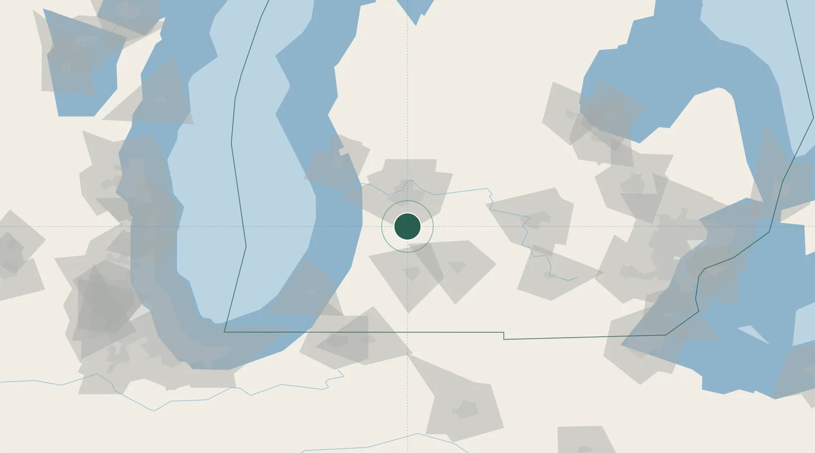
Place type
Populated place
Region
Michigan
Population
4,166
Time zone
America/Detroit
Elevation
235 m
Location
Nearby Logistics Neighbours
Cities
- 1Dorr9 km
- 2Hopkins11 km
- 3Caledonia16 km
- 4Grand Rapids25 km
- 5Hastings29 km
Ports
- 1Holland43 km
- 2South Haven61 km
- 3Grand Haven66 km
- 4Muskegon81 km
- 5St Joseph93 km
Airports
Trade Zones
DatabookThe Record of Consolidated Knowledge
United States beyond logistics?