UN/LOCODE hub · United States
USCDZ
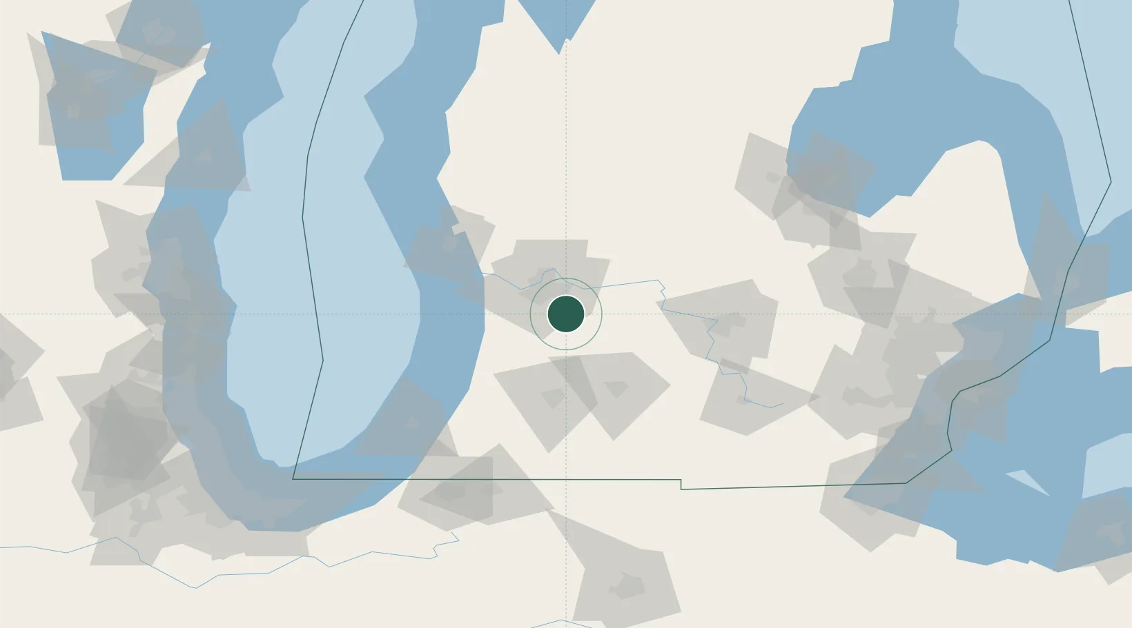
Caledonia
42.7833°, -85.5167°
1,590
Population
2
Transport functions
Transport Functions
Port
Road
Hub Profile
Place type
Populated place
Region
Michigan
Population
1,590
Time zone
America/Detroit
Elevation
247 m
Location
Nearby Logistics Neighbours
Cities
- 1Wayland16 km
- 2Grand Rapids17 km
- 3Dorr18 km
- 4Hastings25 km
- 5Hopkins27 km
Ports
- 1Holland50 km
- 2Grand Haven66 km
- 3South Haven76 km
- 4Muskegon79 km
- 5White Lake95 km
Airports
Trade Zones
DatabookThe Record of Consolidated Knowledge
United States beyond logistics?