UN/LOCODE hub · United States
USHM2

Hamilton

42.6833°, -86.0000°
2
Transport functions

Transport Functions

Road
Multimodal
UN/LOCODE

Hub Profile

Place type
Populated place
GeoNames
Region
Michigan
GeoNames
Time zone
America/Detroit
GeoNames
Elevation
197 m
GeoNames

Location

Location of USHM2
Natural Earth 10m (public domain) · Michigan · USHM2 · 42.68, -86.00GoogleOSMYandex

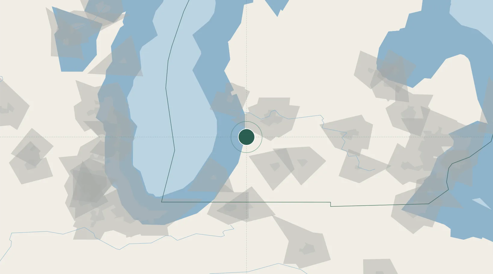
Nearby Logistics Neighbours

Cities
  1. 1Fennville12 km
  2. 2Holland14 km
  3. 3Douglas, Allegan17 km
  4. 4Hopkins22 km
  5. 5Dorr23 km
Nearest neighbours — logibook spatial index (haversine) over the source coordinates
Ports
  1. 1Holland16 km
  2. 2South Haven39 km
  3. 3Grand Haven47 km
  4. 4Muskegon65 km
  5. 5St Joseph75 km
Nearest neighbours — logibook spatial index (haversine) over the source coordinates
Airports
  1. 1Gerald R. Ford International Airport45 km
  2. 2Muskegon County Airport57 km
  3. 3Kalamazoo/Battle Creek International Airport62 km
  4. 4Battle Creek Executive Airport at Kellogg Field74 km
  5. 5South Bend International Airport112 km
Nearest neighbours — logibook spatial index (haversine) over the source coordinates
Trade Zones
  1. 1FTZ No. 189 Kent Ottawa/Muskegon Counties66 km
  2. 2FTZ No. 043 Battle Creek70 km
  3. 3FTZ No. 019 Omaha91 km
  4. 4FTZ No. 101 Clinton County107 km
  5. 5FTZ No. 125 South Bend116 km
Nearest neighbours — logibook spatial index (haversine) over the source coordinates
DatabookThe Record of Consolidated Knowledge
United States beyond logistics?
Browse databook

All Sources

LocationsUN/LOCODE
UN/LOCODE — free
Portsthe NGA World Port Index
Public domain (US gov)
AirportsOurAirports
Public domain
Trade Zonesthe World Bank SEZ database
CC BY 4.0
Trade ZonesOpen Zone Map
CC BY
← United States locations