UN/LOCODE hub · United States
USPH3
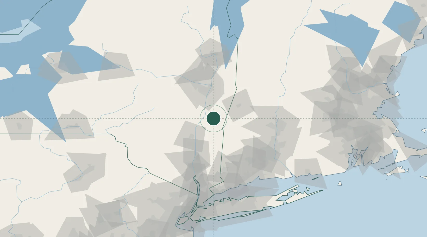
Philmont
42.2500°, -73.6500°
1,318
Population
2
Transport functions
Transport Functions
Rail
Road
Hub Profile
Place type
Populated place
Region
New York
Population
1,318
Time zone
America/New_York
Elevation
124 m
Location
Nearby Logistics Neighbours
Cities
- 1Ghent10 km
- 2Coxsackie, Greene17 km
- 3Copake Falls19 km
- 4Ancram22 km
- 5Schodack Landing26 km
Ports
- 1Catskill17 km
- 2Kingston44 km
- 3Albany45 km
- 4Rensselaer45 km
- 5Troy54 km
Airports
Trade Zones
- 1FTZ No. 121 Albany54 km
- 2FTZ No. 201 Holyoke77 km
- 3FTZ No. 071 Windsor Locks91 km
- 4FTZ No. 268 Brattleboro110 km
- 5FTZ No. 162 New Haven121 km
DatabookThe Record of Consolidated Knowledge
United States beyond logistics?