UN/LOCODE hub · United States
USOMD
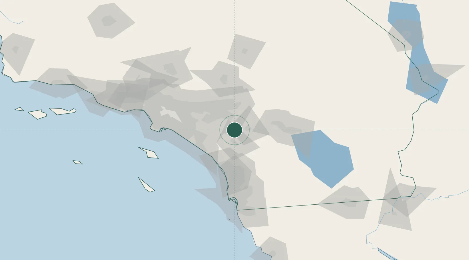
Romoland
33.7333°, -117.1667°
1,684
Population
4
Transport functions
Transport Functions
Port
Rail
Road
Multimodal
Hub Profile
Place type
Urban district
Region
California
Population
1,684
Time zone
America/Los_Angeles
Elevation
440 m
Location
Nearby Logistics Neighbours
Cities
- 1Winchester9 km
- 2Lake Elsinore17 km
- 3Moreno Valley18 km
- 4March Air Reserve Base21 km
- 5San Jacinto21 km
Ports
- 1Newport Beach69 km
- 2Long Beach94 km
- 3Los Angeles100 km
- 4San Diego113 km
- 5Avalon115 km
Airports
Trade Zones
- 1FTZ No. 244 Riverside County23 km
- 2FTZ No. 236 Palm Springs61 km
- 3FTZ No. 050 Long Beach90 km
- 4FTZ No. 243 Victorville97 km
- 5FTZ No. 202 Los Angeles103 km
DatabookThe Record of Consolidated Knowledge
United States beyond logistics?