UN/LOCODE hub · United States
USLE3
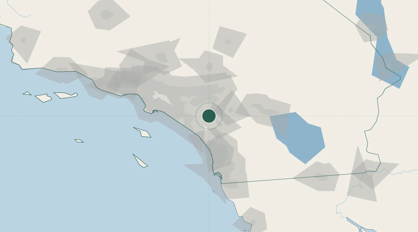
Lake Elsinore
33.6667°, -117.3333°
61,981
Population
2
Transport functions
Transport Functions
Port
Road
Hub Profile
Place type
Populated place
Region
California
Population
61,981
Time zone
America/Los_Angeles
Elevation
395 m
Location
Nearby Logistics Neighbours
Cities
- 1Romoland17 km
- 2Winchester23 km
- 3March Air Reserve Base27 km
- 4Moreno Valley27 km
- 5Rubidoux36 km
Ports
- 1Newport Beach53 km
- 2Long Beach79 km
- 3Los Angeles85 km
- 4Avalon98 km
- 5El Segundo105 km
Airports
Trade Zones
- 1FTZ No. 244 Riverside County27 km
- 2FTZ No. 050 Long Beach76 km
- 3FTZ No. 236 Palm Springs78 km
- 4FTZ No. 202 Los Angeles88 km
- 5FTZ No. 243 Victorville102 km
DatabookThe Record of Consolidated Knowledge
United States beyond logistics?