UN/LOCODE hub · United States
USFTC
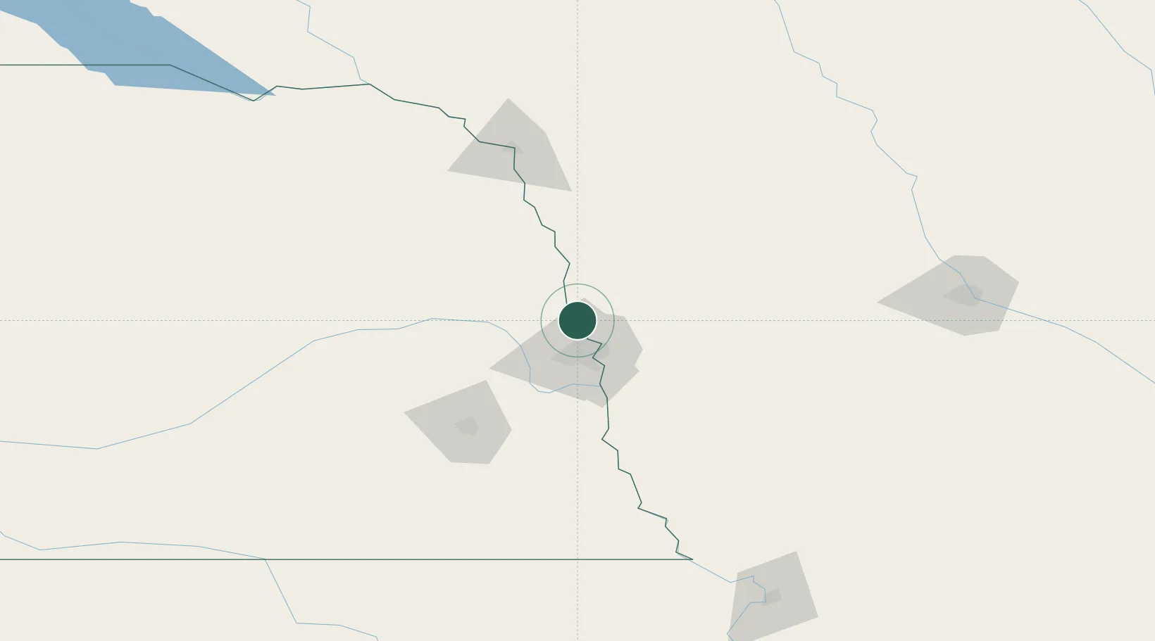
Fort Calhoun
41.4500°, -96.0167°
917
Population
3
Transport functions
Transport Functions
Port
Rail
Road
Hub Profile
Place type
Populated place
Region
Nebraska
Population
917
Time zone
America/Chicago
Elevation
335 m
Location
Nearby Logistics Neighbours
Ports
- 1Superior667 km
- 2Duluth669 km
- 3Ashland705 km
- 4Kaukauna705 km
- 5Two Harbors710 km
Airports
Trade Zones
- 1FTZ No. 059 Lincoln99 km
- 2FTZ No. 133 Quad-Cities, Iowa Illinois147 km
- 3FTZ No. 288 Northwest Iowa191 km
- 4FTZ No. 107 Polk County193 km
- 5FTZ No. 220 Sioux Falls242 km
DatabookThe Record of Consolidated Knowledge
United States beyond logistics?