Transport Functions
Road
Multimodal
Hub Profile
Place type
Populated place
Region
Illinois
Population
572
Time zone
America/Chicago
Elevation
220 m
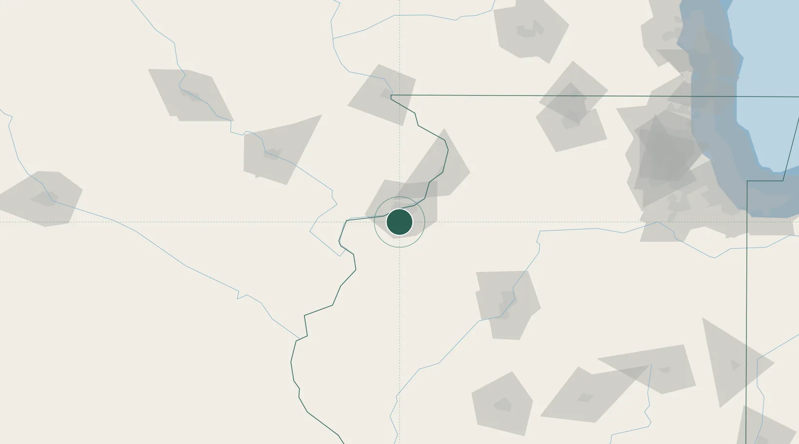
Location
Nearby Logistics Neighbours
Cities
- 1Coal Valley10 km
- 2Silvis18 km
- 3Osco24 km
- 4Walcott26 km
- 5Illinois City27 km
Ports
- 1Great Lakes248 km
- 2Wilmette251 km
- 3Waukegan252 km
- 4Chicago252 km
- 5Calumet Harbor256 km
Airports
Trade Zones
- 1FTZ No. 055 Burlington79 km
- 2FTZ No. 271 Jo-Daviess and Carroll Counties105 km
- 3FTZ No. 114 Peoria113 km
- 4FTZ No. 175 Cedar Rapids120 km
- 5FTZ No. 176 Rockford147 km
DatabookThe Record of Consolidated Knowledge
United States beyond logistics?