Transport Functions
Multimodal
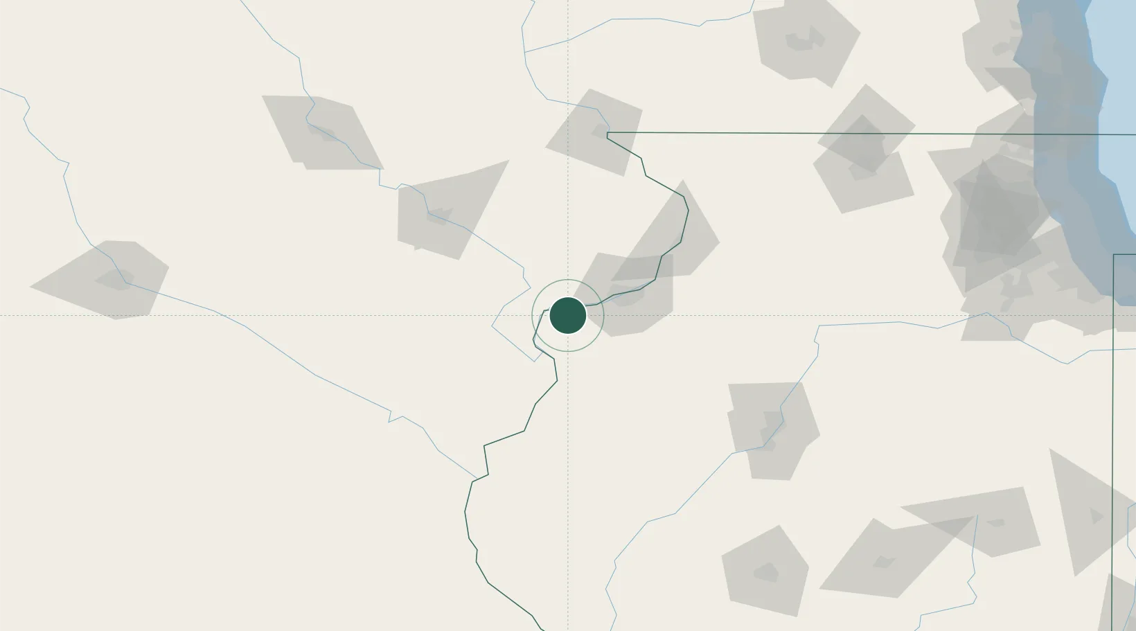
Hub Profile
Place type
Populated place
Region
Illinois
Time zone
America/Chicago
Elevation
233 m
Location
Nearby Logistics Neighbours
Cities
- 1Walcott24 km
- 2Wilton25 km
- 3Moscow26 km
- 4Oak Grove27 km
- 5Coal Valley36 km
Ports
- 1Great Lakes272 km
- 2Waukegan276 km
- 3Wilmette277 km
- 4Chicago279 km
- 5Calumet Harbor283 km
Airports
Trade Zones
- 1FTZ No. 055 Burlington66 km
- 2FTZ No. 175 Cedar Rapids100 km
- 3FTZ No. 271 Jo-Daviess and Carroll Counties117 km
- 4FTZ No. 114 Peoria133 km
- 5FTZ No. 176 Rockford169 km
DatabookThe Record of Consolidated Knowledge
United States beyond logistics?