Transport Functions
Road
Multimodal
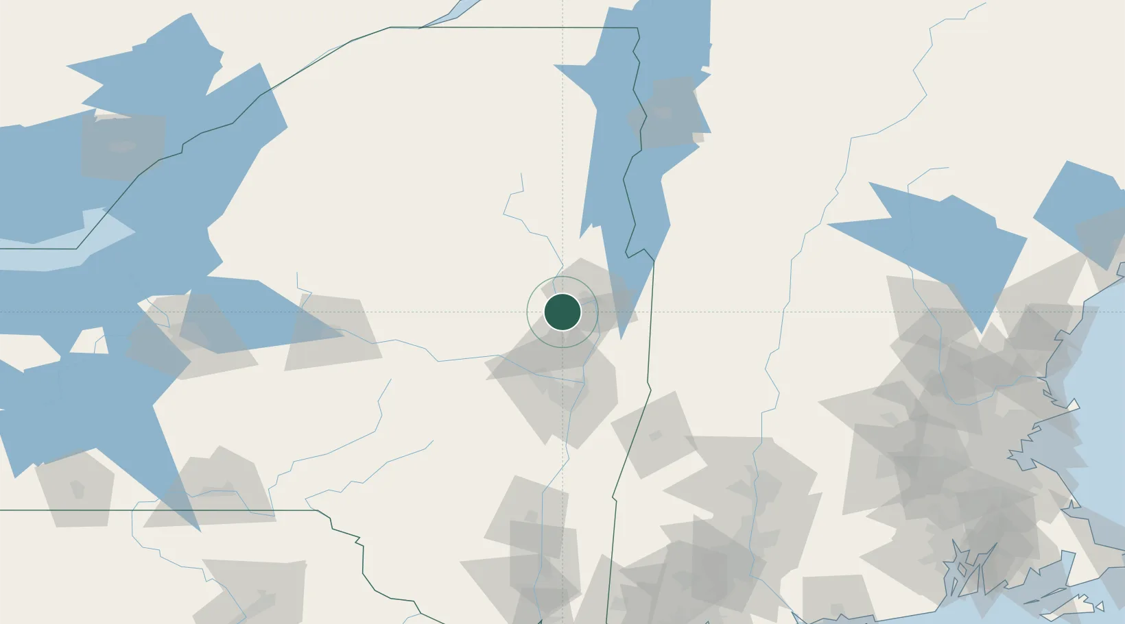
Hub Profile
Place type
Populated place
Region
New York
Population
2,516
Time zone
America/New_York
Elevation
186 m
Location
Nearby Logistics Neighbours
Cities
- 1Gansevoort15 km
- 2Lake George24 km
- 3Battenville34 km
- 4Hebron35 km
- 5Ballston Lake37 km
Ports
- 1Troy56 km
- 2Albany65 km
- 3Rensselaer65 km
- 4Catskill113 km
- 5Kingston145 km
Airports
Trade Zones
- 1FTZ No. 121 Albany58 km
- 2FTZ No. 268 Brattleboro107 km
- 3FTZ No. 201 Holyoke144 km
- 4FTZ No. 071 Windsor Locks174 km
- 5FTZ No. 109 Watertown187 km
DatabookThe Record of Consolidated Knowledge
United States beyond logistics?