Medium airport · United States

Griffiss International AirportKRME
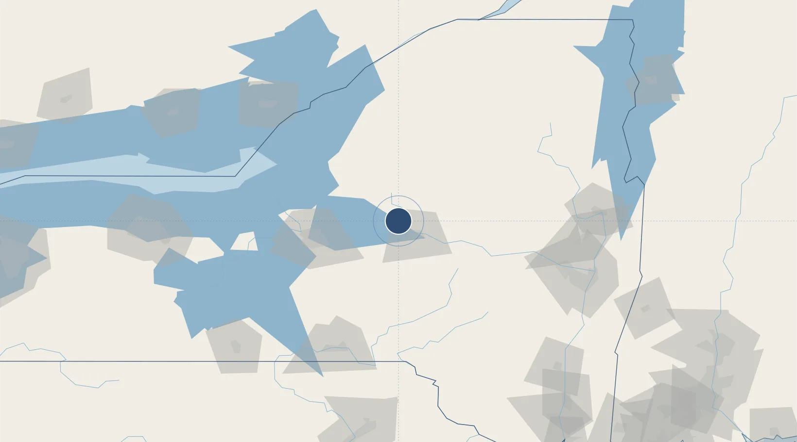
43.2338°, -75.4070°
11,820 ft
Longest runway
1
Runways
504 ft
Elevation

Runway & Layout

Griffiss International Airport runway & taxiway layout
Runway & taxiway layout — OpenStreetMap (ODbL) / OurAirports

Radio Frequencies

CTAF
125.6 MHz
A/D
120.925 MHz
APP/DEP
UNIC
122.7 MHz
UNICOM
OurAirports

Runways · 1

RunwayDimensions SurfaceTrue headingLit
15/33 11,820 × 200ft Concrete 134°
OurAirports

Airport Specifications

IATA code
RME
OurAirports
ICAO code
KRME
OurAirports
Airport class
Medium airport
OurAirports
Scheduled service
No
OurAirports
Runway surface
Concrete
OurAirports
Served city
Rome
OurAirports

Location

Location of KRME
Natural Earth 10m (public domain) · New York · KRME · 43.23, -75.41GoogleOSMYandex

Nearby Logistics Neighbours

Airports
  1. 1Syracuse Hancock International Airport58 km
  2. 2Wheeler Sack Army Air Field95 km
  3. 3Watertown International Airport98 km
  4. 4Ithaca Tompkins Regional Airport119 km
  5. 5Greater Binghamton/Edwin A Link field123 km
Nearest neighbours — logibook spatial index (haversine) over the source coordinates
Cities
  1. 1Riverdale4 km
  2. 2Stittville10 km
  3. 3Marcy13 km
  4. 4New York Mills18 km
  5. 5Yorkville19 km
Nearest neighbours — logibook spatial index (haversine) over the source coordinates
Ports
  1. 1Oswego93 km
  2. 2Clayton123 km
  3. 3Sodus Bay128 km
  4. 4Alexandria Bay129 km
  5. 5Rockport135 km
Nearest neighbours — logibook spatial index (haversine) over the source coordinates
Trade Zones
  1. 1FTZ No. 172 Oneida County51 km
  2. 2FTZ No. 109 Watertown93 km
  3. 3FTZ No. 090 Onondaga96 km
  4. 4FTZ No. 121 Albany142 km
  5. 5FTZ No. 118 Ogdensburg165 km
Nearest neighbours — logibook spatial index (haversine) over the source coordinates
DatabookThe Record of Consolidated Knowledge
United States beyond logistics?
Browse databook

All Sources

AirportsOurAirports
Public domain
Portsthe NGA World Port Index
Public domain (US gov)
LocationsUN/LOCODE
UN/LOCODE — free
Trade Zonesthe World Bank SEZ database
CC BY 4.0
Trade ZonesOpen Zone Map
CC BY
InfrastructureOpenStreetMap
ODbL 1.0
← United States airports