UN/LOCODE hub · United States
USLG2
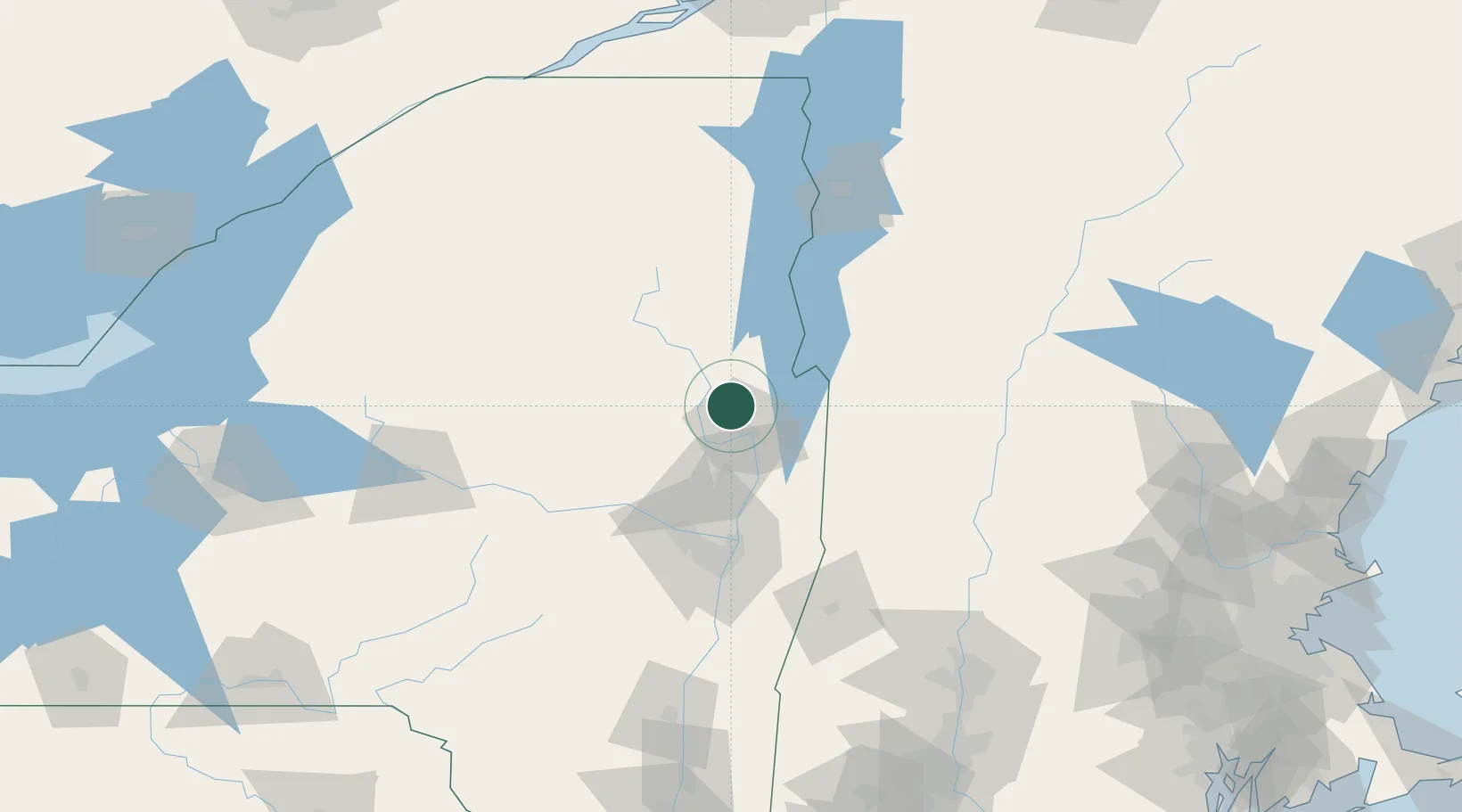
Lake George
43.4333°, -73.7167°
890
Population
2
Transport functions
Transport Functions
Port
Road
Hub Profile
Place type
Populated place
Region
New York
Population
890
Time zone
America/New_York
Elevation
105 m
Location
Nearby Logistics Neighbours
Cities
- 1Bolton Landing14 km
- 2Corinth24 km
- 3Gansevoort28 km
- 4Hartford29 km
- 5Whitehall29 km
Ports
- 1Troy78 km
- 2Albany87 km
- 3Rensselaer87 km
- 4Catskill136 km
- 5Kingston168 km
Airports
Trade Zones
- 1FTZ No. 121 Albany80 km
- 2FTZ No. 268 Brattleboro111 km
- 3FTZ No. 201 Holyoke158 km
- 4FTZ No. 109 Watertown186 km
- 5FTZ No. 071 Windsor Locks189 km
DatabookThe Record of Consolidated Knowledge
United States beyond logistics?