UN/LOCODE hub · United States
US2BY
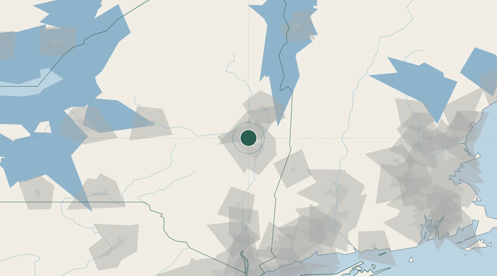
Ballston Lake
42.9000°, -73.8667°
9,776
Population
1
Transport functions
Transport Functions
Port
Hub Profile
Place type
Populated place
Region
New York
Population
9,776
Time zone
America/New_York
Elevation
81 m
Location
Nearby Logistics Neighbours
Cities
- 1Glenville8 km
- 2Rotterdam15 km
- 3Albany18 km
- 4Maywood, Albany19 km
- 5Colonie21 km
Ports
- 1Troy23 km
- 2Albany29 km
- 3Rensselaer29 km
- 4Catskill76 km
- 5Kingston108 km
Airports
Trade Zones
- 1FTZ No. 121 Albany21 km
- 2FTZ No. 268 Brattleboro103 km
- 3FTZ No. 201 Holyoke121 km
- 4FTZ No. 071 Windsor Locks148 km
- 5FTZ No. 037 Orange County189 km
DatabookThe Record of Consolidated Knowledge
United States beyond logistics?