Transport Functions
Port
Rail
Road
Multimodal
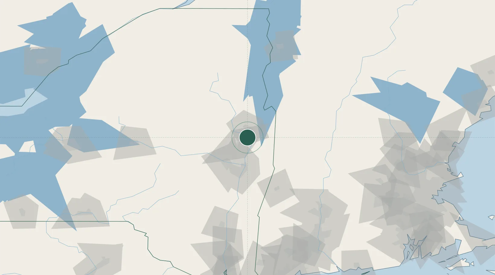
Hub Profile
Place type
Populated place
Region
New York
Time zone
America/New_York
Elevation
73 m
Location
Nearby Logistics Neighbours
Cities
- 1Corinth15 km
- 2Battenville20 km
- 3Hebron22 km
- 4Lake George28 km
- 5Hartford29 km
Ports
- 1Troy50 km
- 2Albany60 km
- 3Rensselaer60 km
- 4Catskill109 km
- 5Kingston141 km
Airports
Trade Zones
- 1FTZ No. 121 Albany54 km
- 2FTZ No. 268 Brattleboro93 km
- 3FTZ No. 201 Holyoke131 km
- 4FTZ No. 071 Windsor Locks162 km
- 5FTZ No. 109 Watertown202 km
DatabookThe Record of Consolidated Knowledge
United States beyond logistics?