Transport Functions
Road
Multimodal
Hub Profile
Place type
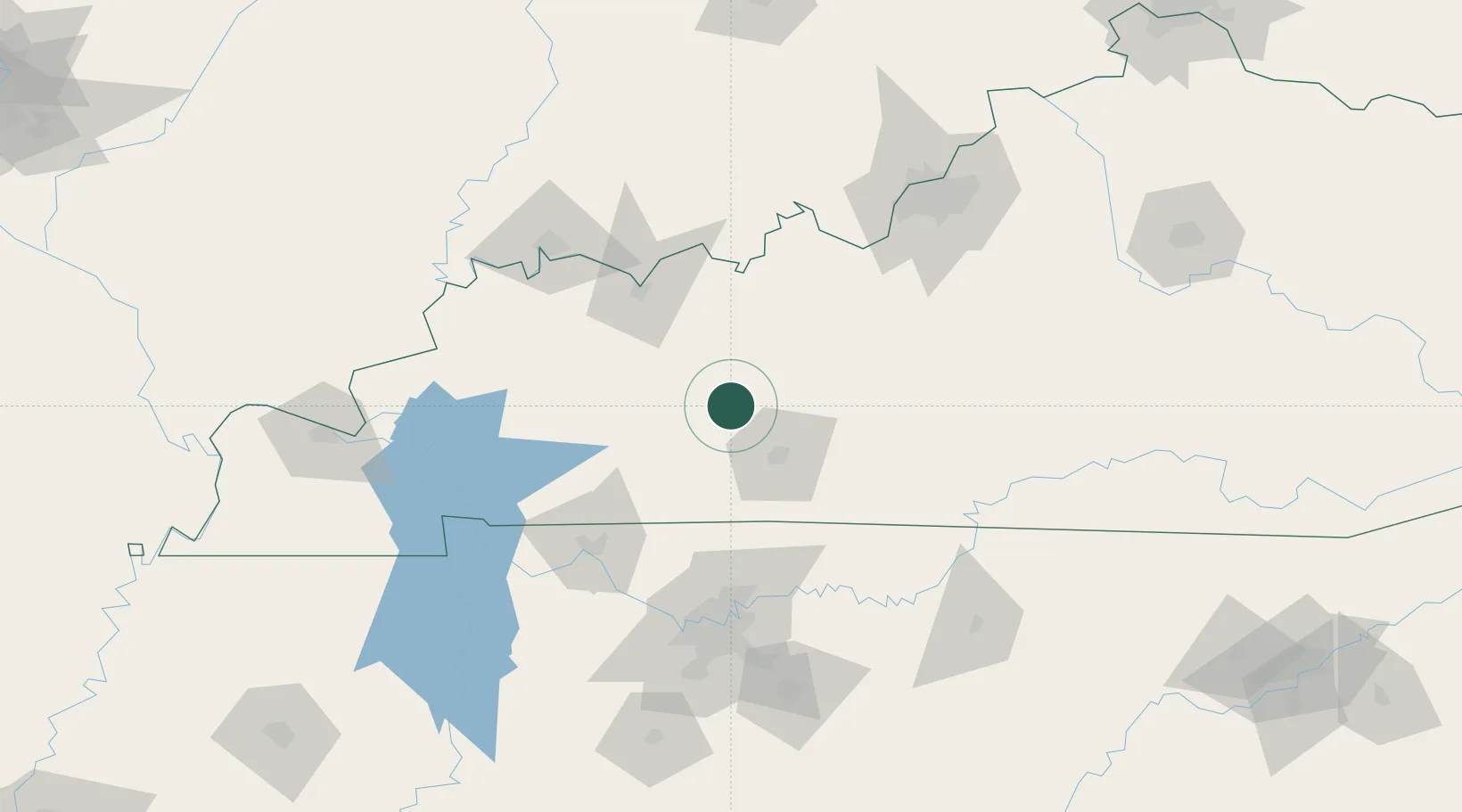
Populated place
Region
Kentucky
Time zone
America/Chicago
Elevation
149 m
Location
Nearby Logistics Neighbours
Cities
- 1Belton29 km
- 2Hartford32 km
- 3Drakesboro33 km
- 4Millwood37 km
- 5South Union37 km
Ports
- 1Port Of Memphis394 km
- 2Gary492 km
- 3Indiana Harbor499 km
- 4Michigan City503 km
- 5Calumet Harbor507 km
Airports
Trade Zones
- 1FTZ No. 177 Evansville119 km
- 2FTZ No. 078 Nashville120 km
- 3FTZ No. 029 Louisville140 km
- 4FTZ No. 294 Western Kentucky169 km
- 5FTZ No. 047 Boone County250 km
DatabookThe Record of Consolidated Knowledge
United States beyond logistics?